Tag: topographic map
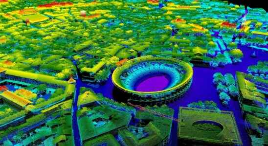
Lidar: a map of France arrives in free access
The National Institute of Geographic and Forest Information is currently working on a high definition topographic map of France. The map will consist of a cloud of points obtained with…
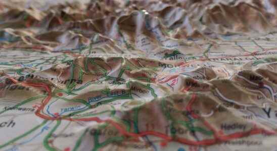
The Exploratorium: the secrets of making IGN maps
Topographic maps are extremely useful, not only for the hiker, but also for land use planning, management or enhancement. Daily tools, their generalization however involves more than ten very different…

