Topographic maps are extremely useful, not only for the hiker, but also for land use planning, management or enhancement. Daily tools, their generalization however involves more than ten very different fields of expertise. From the acquisition of aerial photos to the drawing of maps through processing, discover the secrets of making IGN maps.
You will also be interested
[EN VIDÉO] The forest mapped in 3D like never before The company Outsight, leader in 3D Space Intelligence, has developed an automated solution capable of carrying out a 360 ° forest mapping in real time. The solution uses lidar technology to locate each tree as the forest officer moves, who can then digitally label it with additional information (tree species, presence of insects, etc.). © Outsight
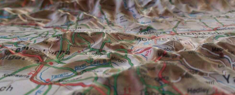
Indispensable to any good hiker, IGN topographical maps bring together a lot of geographical information: level lines, altitudes but also buildings, towns, roads, hiking trails, forests, meadows … Everything you need to be able to find your way around. The accuracy of these maps can go up to 1: 25,000, which means that 1 cm represents 250 meters in reality. Everyday tools, whether in paper format or digital on our GPS and smartphonesHowever, the production of IGN topographical maps requires many steps and involves various techniques and know-how.
Aerial stereoscopic shots
The first is to photograph the ground from small planes equipped with cameras. Four IGN planes thus crisscross a third of French territory each year in order to update the data base geographic. The photos taken vertically are of course georeferenced, that is to say that we know with certainty their positioning GPS and each cover an area of 1.5 x 1.5 km.
These images overlap each other by approximately 60%, allowing each point on the ground to be photographed from two different angles. This shooting technique, which is called stereoscopy, allows to perceive the depth and the relief, a little like our two eyes. This information will be essential for the construction contour lines.
The photo processing phase acquired through this is also very important. It is indeed necessary to correct the deformation linked to the angle of the shot as well as to the relief. The various corrected images, called ortho-images, are then standardized at the level of colors and some brightness then assembled to form a first map of the soil. By presenting the smallest details of the terrain, this assembly of ortho-images constitutes an essential background of geographic information systems. It is particularly essential for network managers and construction companies. However, we are still far from the topographic maps that we know.
Field surveys
From these 3D representations of the terrain, an operator will identify the various objects present in the image, such as roads, homes, forests, etc. This information is then organized within the database.
Aerial shots are also complemented by shots satellite but also by data collected on the ground by surveyors and topographers who survey areas invisible from the sky or space, such as hiking trails in the undergrowth! They also identify many other intangible information, such as municipal boundaries or even the names of places. All this georeferenced data will be used to complete the maps.
Automatically generated maps
Then comes the illustration phase. Because the cards that we hold in our hands are not assemblages of photographs. This is a representation of the information contained in aerial and satellite shots. Previously hand drawn, maps are now digitally generated.
The cartographer will thus superimpose the different layers each containing a type of data (layout of roads, buildings, rivers, vegetation, etc.). The place names are then added manually, as well as the many symbols found in the legend. The goal is, of course, to have a map that is as complete as possible while remaining readable.
At the crossroads between geography and IT, geomatics thus mobilizes many skills that are used to collect, process, analyze and disseminate geodata. A fundamental approach for the management of our territory.
Interested in what you just read?
.
fs11