unsaveSave
expand-left
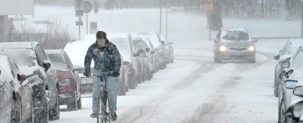
full screen A new area of snow moves across the country on Thursday. The picture was taken in Stockholm on Tuesday. Photo: Janerik Henriksson/TT
After the sleet on Tuesday, a new snowfall moves in over the country from the southwest during the night to Thursday. But according to SMHI, not as big a problem is expected in traffic this time.
A precipitation area moves in over Skåne in the form of rain and then changes to sleet and snow as it moves further up over the country, according to the forecast.
SMHI has issued a yellow weather warning for fresh easterly wind and snowfall in parts of northwestern Götaland which may cause problems in traffic.
Overall, there may be up to 5–10 centimeters of snow during Thursday, mainly in northwestern Götaland and western Svealand. During the afternoon and evening, the snowfall continues over most of the rest of Svealand and southernmost Norrland.
– There will still be a fair amount of snowfall, especially like this in April when many have changed to summer tires. Maybe not as many problems in the traffic as yesterday, but then there were also large amounts that fell, says Erik Höjgård-Olsen, meteorologist at SMHI.
It has been extremely cold in the northern part of the country and the night of Thursday is also expected to be really cold with temperatures of 15–25 minus degrees and around 30 minus degrees locally in Lapland.
During Friday, a new low pressure is expected to move in with extensive rain in the southern part of the country and snowfall in the north.