
Norfolk residents could be in for another messy weekend, says Environment Canada.
A storm system is expected to move into the area Thursday into Friday (Nov. 24-25). But as of Monday, it was difficult to determine if residents will be hit with rain, snow or a mix of both, says Geoff Coulson.
“It looks like it could be a rain event for Haldimand-Norfolk and into the Brantford area,” Coulson, a warning preparedness meteorologist with Environment Canada, said. “It demonstrates the variability of the temperatures we can get this year.
“Often temperatures hover around the 0 Celsius mark and a shift either way can be the difference between snow, rain or a mixture of both.”
A clearer picture of the storm system is expected by Wednesday when residents could see weather statements from Environment Canada. Most areas will likely see rain initially before the precipitation changes with colder temperatures.
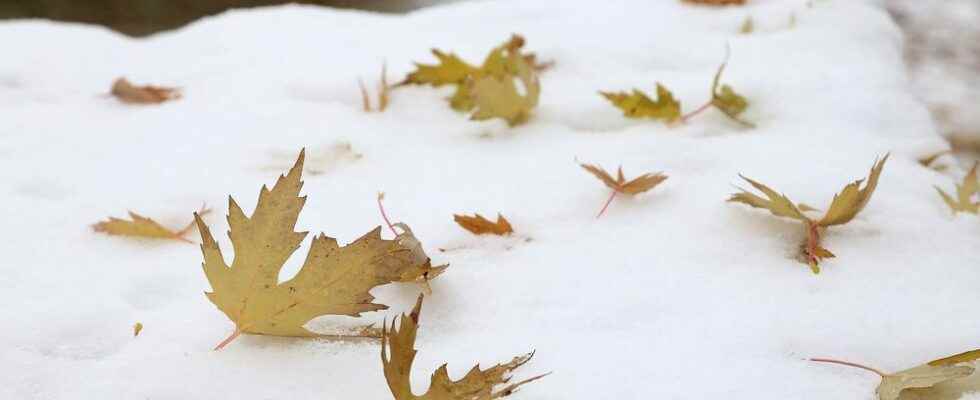
Coulson made the comments after being asked about the wintry blast of snow that hit lakeshore communities and other areas of Norfolk this past weekend. The snow, wind and cold was a major topic of conversation at Port Dover’s Christmasfest held Saturday.
Exact figures haven’t been determined but Coulson said areas along the shoreline from Long Point to Port Dover received anywhere from 10 to 20 cm of snow over the weekend.
A couple of places might have seen slightly higher amounts, Coulson said.
Areas east of Port Dover including Port Maitland and Fort Erie would have received between 40 to 60 cm. That’s far less than Buffalo NY where 185 cm of six-feet of snow fell, Coulson said.
Although, it’s unusual to receive such an intense blast of winter at this time of year, it’s not unprecedented. Ontario had similar conditions 10 to 12 years ago, Coulson said.
What made this past weekend’s weather noteworthy was the duration – the length of time it lasted. In some areas the cold, wind and snow began Thursday and continued right through to Sunday, Coulson said.
But while Port Dover and other areas along the Lake Erie shoreline received a lot of snow, many other areas including the GTA, Brantford and Brant County saw very little if any snow. Motorists need to be aware of the variability or how weather can change from region to region, Coulson said.
“Lake effect weather events like the one we had this past weekend in Port Dover and elsewhere are localized and that’s what makes them dangerous,” Coulson said. “Motorists leaving an area that has sunshine suddenly find themselves driving into white-outs with zero visibility.”
There are a lot of weather apps available and many ways to access Environment Canada’s weather radar that show the locations of heavy snowfall. The apps are ways motorists can find out about their destination weather and make informed choices about their travel, Coulson said.
“Another great site is Ontario 511,” Coulson said. “It provides information on road conditions throughout the province including road closures and snowplows.”
Ontario 511 can be found at www.511on.ca/ .
“These days everyone has a super computer in their pocket,” Coulson said. “Why not use it to help make informed decisions about travel plans?”
twitter.com/EXPVBall