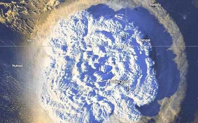
The eruption of an underwater volcano on January 15 in Tonga, an island country in the South Pacific, caused alarm all over the world. After the tsunami warnings came from many countries, the echoes of the explosion continue. After the eruption, the Russian Federal Space Agency (Roscosmos) released the latest photos taken from space of the twin islands Hunga Tonga-Hunga Haapai, joined by the volcano where the eruption occurred.
DELETED FROM THE MAP
After the explosion, it turned out that most of the islands in question were flooded and wiped from the map. Roscosmos stated that the photograph was taken with the Canopus-V satellite, and drew attention to the change by marking the pre-explosion borders of the islands with a line.
On the other hand, after the eruption of the volcano in Tonga, tsunami warnings were issued in many countries, and 3 people died in the tsunamis.
SMOKE CLOUD PICK THE PATH TO SPACE
It was stated that the smoke cloud rising from the volcano reached 55 kilometers above the earth and halfway to space, based on the 100-kilometer-high karma line known as the outer space and earth boundary of the atmosphere. (UAV)