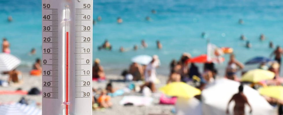
HEAT 2023. Météo France has issued a heat wave vigilance bulletin for the start of the week. 5 departments have been placed in orange vigilance level, and five others in yellow for the day of Monday, August 14.
[Mis à jour le 14 août 2023 à 08h34] The heat wave is making a comeback in the country. Temperatures are rising in the south of France as shown by Météo France in its latest bulletin published this Monday August 14 at 6 a.m. The institute had already placed the departments of Savoie and Haute-Savoie, in addition to Isère, Ain and Rhône, in orange vigilance for heat waves and maintains this level of alert this Monday morning. The departments of Ardèche, Drôme, Loire, Haute-Loire and the Pyrénées Orientales are placed in yellow vigilance level this Monday.
“The south-westerly flow continues to drain hot air over the Center-East, ahead of stormy systems flowing from the South-West to the Massif Central in the Grand-Est. Over Rhône-Alpes and Haute-Loire , the temperatures remain high”, notes Météo France which recorded 20 degrees in Lyon, Grenoble and Ambérieu from 5 am, and 22 degrees in the north of Isère.
The temperatures “will reach 34 to 36 degrees in the departments in orange vigilance, in places more than 36 degrees in the departments in yellow vigilance. A heat peak due to a foehn effect is also expected on Monday in the Pyrénées-Orientales department. , with highs of 37°c to 39°c in the interior. A return to less extreme temperatures is expected in this department on Tuesday, while the high temperatures persist in the center-east. The second part of the week could be particularly hot in the south of France, according to the first projections from Météo France.
The south-east of France experienced a very hot month of July with a two-week heat wave. Météo-France had placed on July 9 10 departments in heat wave vigilance. This episode of very hot weather ended on July 25 to give way to rain and thunderstorms. During this heatwave episode, many records have been broken in the Mediterranean, with 49 degrees in Algiers and Tunis. In Spain, “Spanish Catalonia recorded 45°C near Figuères, a record for this province” according to the Weather Channel. In France, it is the city of Castirla in Corsica which recorded a temperature record with 42.8 degrees.
But what about the month of August? Should we expect hot weather again? the forecasters of the Weather Channel announce “a generally summery month of August, especially in the south”. Here are the forecasts for The Weather Channel :
- Week of August 7 to 13: the heat is back for everyone. We expect good weather, sometimes stormy.
- Week of August 14 to 20: the good weather should continue, but with more mixed weather. “The reliability remains to be confirmed given the still distant deadline” warns La Chaîne-Météo.
What is a heat wave?
As a reminder, we speak of a heat wave when these four characteristics are combined:
- a period of high heat;
- with temperatures five degrees higher than normal for the season;
- the day and the night ;
- for three consecutive days.
What is the heat wave plan put in place this year?
On June 8, 2023, the government announced the various actions implemented as part of its heat wave plan to protect the population during intense heat waves.
What are the recommendations to follow during the heat wave?
Heat wave, heat peak, heat wave and heat dome: what are the differences?
Heat wave and heat wave are two different things. To speak of a heat wave, the temperatures must be five degrees higher than normal for the season, day and night, and this for at least three days and three nights. The heat wave temperature threshold therefore differs according to the departments and regions. Heat waves most often occur in France in July and August. We must be vigilant from the month of June. High temperatures, even above seasonal norms, do not necessarily mean a heat wave. Most often, these are heat waves.
The term heat peak is more to be used during a sudden rise in temperature, while a heat wave corresponds to a longer episode. Météo France judges that a heat wave is in progress when temperatures above the monthly average are detected by more than three degrees Celsius, for at least three days.
Finally, heat dome is another term used. It settled over almost all of France in May 2022. This meteorological phenomenon is explained by a large mass of hot air from Morocco and Spain, trapped by atmospheric pressure. This usually occurs in summer, but also in spring. It results in scorching heat.
Météo France provides several levels of heat wave vigilance: level 1 (green) corresponds to a “seasonal watch”, level 2 (yellow) to a “heat warning” and it is level 3 (orange) which corresponds to “the ‘heat wave alert’. Finally, level 4 (red), the highest, determines “maximum mobilization”. In summer, it is not uncommon for several departments to be placed on orange or red alert for the heat wave.
Heat wave: what are the temperature records recorded in recent years?
If the heat wave of the summer of 2003 remains in everyone’s memory (and that of 1976 also among the old), France has since experienced other episodes of very hot weather. In summer 2019, several absolute temperature records were reached in different cities. According to data from Météo France, 50 cities had thus recorded a new record since July 25, 2019. While the summer of 2019 had been very hot, some records were broken during the heat wave of mid-June 2022. During the day heat wave of Saturday June 18, 2022: 150 municipalities broke a heat record, according to meteorologist Patrick Marlière, interviewed by BFM TV: “We went from 70 cities with broken monthly records, to more than 150 today in France, from the Pyrenees to the Belgian border”. The city of Nantes thus broke its record for the month of June with 39.1°C. In the South-West, records at more than 40 degrees have been reached: Biarritz with 42.9°, Saint-Jean-de-Luz with 42° or Bordeaux with 40°.
The July 2022 heat wave also set temperature records on Monday July 18. Of the 63 records recorded that day, the majority are in the north, west or southwest. We can cite :
- Beaulieu-sur-Layon (49): 42.7°C
- Biscarrosse (40): 42.6°C
- Nantes (44): 42°C
- La Roche-sur-Yon (85): 41.5°C
- Cholet (49): 41.3°C
- Niort (79): 41°C
- Rennes (35): 40.5°C
- Caen (14): 40.1°C
- Dinard (35): 40°C
- Saint-Brieuc (22): 39.7°C
- Noirmoutier (85): 38.7°C
- Lorient (56): 37.6°C
- Brest (29): 39.3
- The island of Yeu (85): 35.9°C