Published: Yesterday 18.28
Updated: Less than 30 min ago
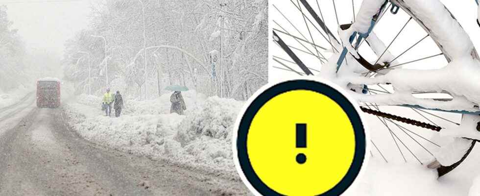
It’s time for another snowstorm in southern Sweden.
Ahead of Friday, SMHI has issued yellow warnings for snowfall and wind.
– It gets tricky in several different ways, says Sofia Söderberg, meteorologist at SMHI.
Wasn’t it snow chaos in southern Sweden? Yes. As recently as yesterday, people were advised to work from home if they could.
But it’s already time for the next storm.
Ahead of Friday, SMHI has issued yellow warnings for snowfall and wind in large parts of Götaland and the most south-western parts of Svealand, southern Värmland and southern Örebro county.
Warnings have also been issued for Öland and in the southern Jämtlandsfjällen.
The new snow area comes in from the west and moves east during the day and night. The warnings in the west start to apply as early as 8 a.m. on Friday morning, while in the east they only apply from 11 a.m.
On Lake Vänern, which is in the middle of the western warning area, gale force winds are expected. There is also a gale warning for the west coast and large parts of the Baltic Sea during Friday.
Also for Saturday, SMHI has issued a warning for snowfall in eastern Götaland, southern Örebro County, Öland and southern Jämtlandsfjällen.
“Ice rink on the final slope”
The consequences of the coming storm can be several. The snow that falls on Friday is expected to be heavy, as the temperature will be around zero.
– Then the electricity and telecommunications supply can be affected, when branches break and fall on the wires, says Sofia Söderberg.
And even when the weather moves further east, you can’t relax, because then a new problem can arise:
– If it is first snowfall and sleet with wind, it can be cloudy and poor visibility, and if it rains on cold roads then it can be icy on the slopes, when the precipitation starts to subside, says Sofia Söderberg at SMHI.
Take it easy on the roads
Yellow warnings mean a risk of traffic disruption. But even in areas where no warning has been issued, there is a risk of difficult road conditions.
– Anyone who is going out and driving should ask themselves if it is really a must, says Felicia Danielsson, press communicator at the Swedish Transport Administration.
– If you have to, you should choose the main roads if possible. That’s where we have the highest priority and skid control and snow removal first.
During Thursday evening and the night before Friday, the accident alarm came in close from several parts of the country.
The emergency services have received many alarms about motorists who have driven into trees that have fallen from the heavy wet snow, but mainly it has been about accidents related to slipping.
– You might have to lower your speed a little, keep a proper distance and have plenty of washer fluid if there is salt and mud. And winterize the car with a reflective vest, warm clothes and a shovel if you have to shovel. This generally applies in the winter, but especially if there is bad weather, says Felicia Danielsson.
Risk of train wreck
Train traffic may also be affected. During Thursday, several smaller railways were closed due to the risk of trees falling on them. Now there is a risk that the shutdowns will be extended.
– We have not made a decision about it yet, so it may be that we extend it.
Felicia Danielsson advises road users to keep an eye on whether the trains are running.
– Check with the company whether it is a replacement bus that applies or something else.
On Thursday evening, Västtrafik writes that several trains are canceled due to storms in the west. According to Västtrafik, the routes Gothenburg-Lidköping-Örebro, Uddevalla-Strömstad and Trollhättan Vänersborg are affected.
“There is a risk of disruption in the whole of Västra Götaland. Expect delays and canceled departures on certain routes”, says Västtrafik its website.
Facts
SMHI’s weather warnings
The previous class 1, 2 and 3 warnings have expired, now SMHI’s warning system is based on colors.
Yellow warning: The weather can have consequences for society, and certain risks for the public. Disruptions in some social functions are expected.
Orange warning: May involve serious consequences for society, danger to the public, and serious damage to property and the environment. Disruptions in social functions are expected.
Red Alert: Very serious consequences for society and great danger to the public. Extensive disruptions in social functions are expected.
(Source: SMHI)
Read more