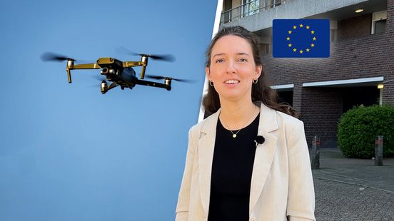
Drones and scanning cars have very accurately mapped the Liendert district in Amersfoort in recent years. So precise that a 3D version of the district has now been recreated. Not for a video game, but for the climate. For example, research teams can calculate how many trees need to be planted in a street to combat heat stress? “This is the future, we think.”
rnl-general-02
Why drones filmed this Amersfoort neighborhood: ‘We now know exactly what effect a downpour has’