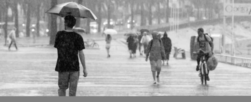
Weather disturbances have become more numerous and more intense in recent years, in France as in the rest of the world. A trend which can be explained and which could be confirmed, or even worsened, in the future.
“We must prepare, with climate change, for difficult episodes more and more often,” warned Prime Minister Michel Barnier on Friday October 18, at the end of an episode in the Cévennes which affected France with a strength unseen in 40 years. “We must get used to and arm ourselves to face” these intense bad weather, said the same day the Minister of Ecological Transition and Climate, Agnès Pannier-Runacher on BFMTV. Speeches which are cause for concern, but confirmed by recent weather phenomena.
The bad weather which brought down the equivalent of one to six months of rain in certain departments in just two days, between October 16 and 18, is a new manifestation of meteorological risks. Storm Kirk which hit France or Hurricane Milton which swept across Florida only a week earlier also attested to the tendency of meteorological phenomena to increase in intensity. “We can say that [le dernier] Cévennes episode presents accumulations of more than double what was planned in some places. We can see a concrete effect of global warming”, indicated Régis Crépet, meteorologist for The Weather Channel.
Global warming is indeed responsible for the intensification of bad weather, says climatologist Valérie Masson-Delmotte who explains to Parisian that “the atmosphere can contain 7% more humidity per degree of warming”. More humidity means more precipitation and therefore significant risks of flooding. A reality observed in 2024 with a very rainy spring and an also very rainy month of September which brought more rain than the average annual precipitation in several French territories. In Nice, in the Alpes-Maritimes, for example, we have measured 850 mm of cumulative rain since the start of 2024, when the annual normal is 791 mm.
Heavy rains which end up causing more regular and greater flooding. “Intensification of extreme rainfall increases the frequency and magnitude of runoff-related flooding, because the intensity of precipitation exceeds the capacity of natural and artificial drainage systems”, that is, the capacity of soils to absorb water, which are less and less absorbent due to concreteization, explains Valérie Masson-Delmotte.
Continued global warming will therefore, logically, lead to weather phenomena similar to recent bad weather, or even more intense and more regular. Because beyond disturbances such as the Cévennes or Mediterranean episodes, it is depressions, storms and hurricanes which can end up forming more often due to global warming, in particular through warming of the oceans. When ocean water is warmer, it releases more water vapor which fuels and sometimes strengthens severe weather. Problem: ocean temperatures have remained higher than usual in 2024.
But the warming of the oceans and more generally global warming will only be able to stop or at least slow down with sufficient actions supported by scientists, including the IPCC. The group of specialists assures that a significant reduction in greenhouse gas emissions could help slow climate change. However, the objectives set by national and international policies during the various COPs are either not respected or sufficiently important.
