If you’re dreaming of a white Christmas, you may get that — and more.
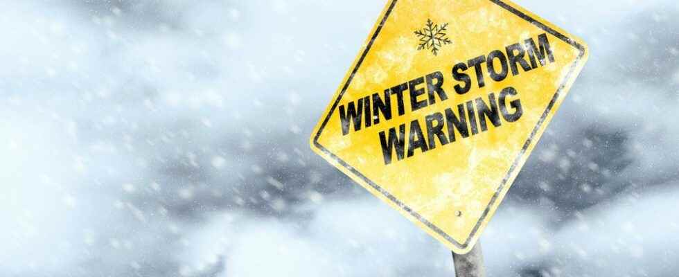
Environment Canada has issued a special weather statement Brantford and Brant County indicating a major winter storm is expected into the holiday weekend.
“Precipitation may begin as rain or snow late Thursday before transitioning to rain in many areas Thursday night,” read the statement.
“Temperatures are expected to plummet on Friday leading to a potential flash freeze for locations that receive rainfall.”
Snow, possibly heavy at times, and strong to potentially damaging winds may create blizzard conditions late Friday and into the weekend for areas downwind of Lake Huron, followed by lake effect snowfall over several days.
For Brantford, the Weather Network forecasts 10 to 15 millimeters of rain on Thursday with a high of 4 C and a low of zero.
About 10 centimeters of snow is predicted for Friday with a daytime high of zero and a low of -12 C.
Temperatures will remain frigid throughout Saturday and Sunday while the chance of precipitation drops to 40 per cent, with about one centimeter of snow expected.
Wind speeds of between 70 to 100 km-h are expected through much of southwestern Ontario, and may exceed 100 km-h in areas close to the Great Lakes.
Forecasters say types and amounts of precipitation can’t be determined yet but could reach 30 to 60 centimeters of snow in some parts of the province.
The national weather agency says this “high impact winter storm” may be reason to reconsider travel plans as roads may become dangerous with whiteout conditions, flights may be cancelled, and extensive utility outages are possible.
Public Safety Canada encourages people to make an emergency plan and get an emergency kit with drinking water, food, medicine, first-aid kit and a flashlight.
Additional information on emergency kits and plans can be found at www.getprepared.gc.ca