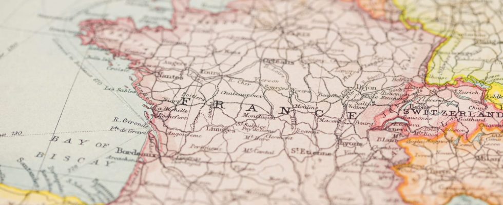
Several villages in Berry claim to be located in the geographical center of France. But in this war of the commons, who is right?
No offense to Parisians who like to believe they are in the center of France, there are no less than eight villages in Berry, a historic province of France under the Ancien Régime, which claim their status as the geographical center of France. . How to explain this? Since our territory has changed over time, the nerve center of France has been calculated differently each time.
Indeed, when certain calculations take into account the French territory as a whole with the DOM-TOM, others are satisfied with metropolitan France including Corsica, or only continental France excluding Corsica, not to mention the calculations which take into account the volume of mountains, lakes or ponds. Discover the list of the 8 contenders for the title below:
- Bruère-Allichamps in the Cher would be the center of France according to the calculations of the geographer Adolphe Joanne (1813-1881), based on the meridian of Paris, but does not take Corsica into account.
- Saint-Amand-Montrond in the Cheris the center according to a calculation made from the most southern, northern, western and eastern points of mainland France at the end of the 19th century.e century.
- Farges-Allichamps in the Cher is self-proclaimed center via its rest area Center of France from the A71 motorway.
- Saulzais-le-Potier in the Cher erected a stele in 1968, surmounted by a flag and which contains a laminated letter affirming that the village is the nerve center of the country, according to the calculation of Abbé Moreux.
- Vesdun in the Cher would be the center of France according to the method which consists in fixing a center for each commune (without Corsica) then in determining the barycentre of the 36,500 centers found, associated with a coefficient equal to the area of the commune. This calculation was then verified by the IGN in 1993, taking into account the curvature of the Earth, still without Corsica.
- Chazemais in the Allier was designated center of France by the first calculation of theNational Institute of Geographic and Forest Information (IGN).
- Nassigny in the Allier benefits from a calculation carried out by the IGN in 1993, taking into account the curvature of the Earth and including Corsica.
- Huriel in the Allier is cited as the center of France as the capital of the canton where Chazemais and Nassigny appear, and whose commune of Vesdun is bordering.
So, who is right ? The oldest mention of central France is in Bruère-Allichamps in the Cher department in the Centre-Val de Loire region. Evidenced by a Roman milestone of the IIIe century which sits in the center of the town, installed by the Duke of Béthune-Charost in 1799, where a text indicates that “tradition designates this monument as the center of France”. This assertion was verified in 1869 by the geographer Adolphe Joanne. In 1976, this center of France even appeared in the cinema in the opening scene of Pocket money by Francois Truffaut (1976). But several municipalities argue that the borders have since evolved, and they are not wrong.
It’s finally theNational Institute of Geographic and Forest Information (IGN) which will decide in 1993. If we include Corsica, the center of France is therefore at Nassigny in the Allier. If we exclude the Isle of Beauty, Vesdun in the Cher is the lucky one.
