The weather for this month of January is unusually calm in France, the fault of a lasting anticyclonic blockage which seems to no longer want to leave our country.
You will also be interested
[EN VIDÉO] Winter: are vitamin supplements necessary? To prevent infections or fight fatigue, many people take vitamins as winter approaches. But is this supplement really effective?
While the month of January is often a disturbed time in France, marked by storms and snow on the plain, this beginning of the year 2022 seems to be an exception. At level weather report, it has indeed been a dead calm for three weeks. An anticyclonic situation which had already marked the month of October, then a fortnight in December. The strong ripples jet stream, from North America to Europe, “stuck” two masses of polar air in a recurrent way: the first in Canada and the northern United States, the second in eastern and northern Europe. In the middle of these two bubbles of icy air, the high is trapped between the British Isles and France.
A map of France cut in half
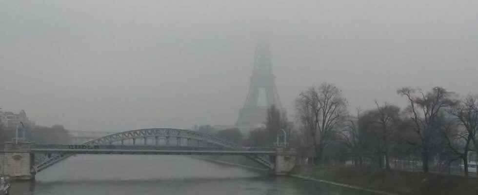
Remember that an anticyclone is an area of high pressures, and a depression an area of low pressure. The anticyclone is generally associated with good sunny and dry weather: this is indeed the case in the south of France, with azure blue skies in the Mediterranean and on all the mountains, while the northern half of the country is immersed in the persistent greyness. In question, the position of the anticyclone on the Atlantic: it brings humidity from the ocean to the north of France, while the south is less affected, with the exception of certain valleys such as that of the Garonne. . In this very calm context, the winds are almost absent and atmospheric pollution is back. Numerous pollution peaks occurred in Hauts-de-France, in the Paris region, in the northeast and in the valleys of the Rhône-Alpes region.
☁ Like yesterday, France is cut in two with greyness in the north and sun in the south. Beautiful clearings all the same on Finistère and from the Côte-d’Or to the Vosges. ☀ pic.twitter.com/bubKjWHpT8
— Weather Express (@WeatherExpress) January 23, 2022
Towards duration records?
Such a long blockage is rare, but this situation is not totally unprecedented. According to François Gourand, meteorologist forecaster at Meteo France, France has already experienced very long periods of high pressure in the past, notably in January 1989 with an entire month of blockage. No high pressure record either to date: the atmospheric pressure average recorded in Paris in January is 1027 hp, but a monthly average of 1032 hp was recorded in Paris in January 1989 and 1031 hp in January 1992. However, the duration atypical of the high pressure dome in January 2022 remains exceptional compared to recent years. Despite return signals of a more disturbed flow in early February, ” the anticyclone remains nearby, still over the Atlantic, and could return very quickly after a few days. And beyond 10 days, the forecasts are not reliable enough to decide » specifies the forecaster of Meteo France. On the Pyrenees and in the Mediterranean, the Sun should remain present for at least another week.
A blockage that could become worrying
This high pressure dome is accompanied by dry weather over France, likely to generate a situation of drought if it turns out to last until spring: ” the situation is not yet worrying because it can change quickly between mid-February and early March, if the disturbed flows are back” according to Francois Gourand. The water tables still have time to recharge, but if this blockage were to last another month, the drought winter weather could have significant consequences on the vegetation.
Interested in what you just read?