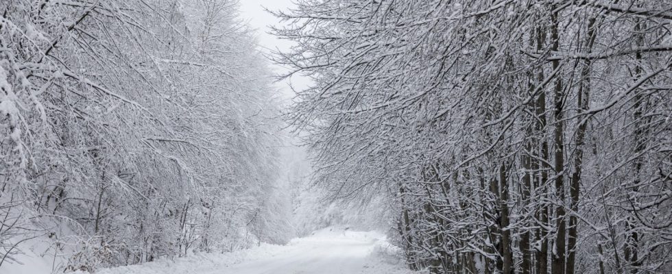
Temperatures will be well below seasonal averages and snow will fall on the plains. Here is region by region what awaits you.
Winter has decided to mark its territory at the end of November. And the Weather Channel announces a “radical change” at the start of the week. The calm of the last few days gives way to a turbulent atmosphere and a noticeable wind over a large part of French territory. From this Monday, the sky is covered with a blanket of rain, showers and snow, affecting almost all regions.
The average temperature in 30 cities in France is around 6°C, or 1.5°C below the seasonal normal. This cold is felt unevenly across the country, with significant variations depending on the region. The feeling is particularly unpleasant, exacerbated by the winds accompanying these bad weather. This radical change in weather contrasts sharply with the previous Sunday, which was rather peaceful.
Caution is required from the morning, especially in central regions where icy conditions could make travel risky. In the afternoon and evening, the east of the country will see snow at low altitudes, adding an additional challenge for traffic. On the Channel coasts, the morning rains will be followed by heavy showers and a northerly wind reaching 80 km/h in gusts. In Aquitaine, Pays de la Loire, Nord-Pas-de-Calais, the Center and the Paris basin, rain will dominate, with a slight temporary improvement in the afternoon.
The Grand Est, Burgundy and Jura will experience overcast skies with rain arriving in the afternoon and snow above 300 to 400 meters above sea level. Particular caution is recommended for those traveling more than 600 meters.
In regions from the Pyrenees to Auvergne, the morning will be cold with hazy skies, followed by rain and snowfall at altitude in the afternoon. For the Mediterranean regions and the Alps, the weather will remain dry until late afternoon, but caution is advised in the evening with the arrival of rain and snow.
In Corsica, very unstable weather and stormy showers especially in the south of the island will mark the day, followed by strengthening winds with stormy gusts during the night.
There weather trend for the following days indicates unstable and cold weather, with snow at low altitudes in the east from the morning and showers elsewhere. Mistral and tramontane winds will blow strongly near the Mediterranean.

