You will also be interested
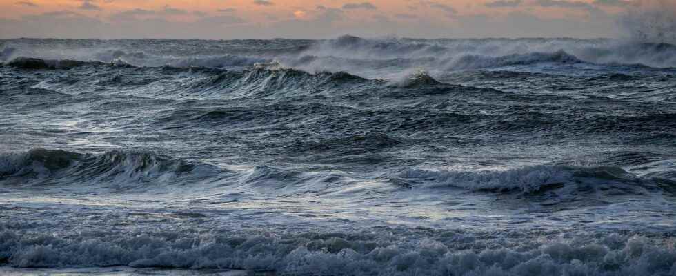
[EN VIDÉO] Sea levels could rise almost a meter by 2100 Altimetry satellites are a good way to accurately measure sea level rise due to climate change. In orbit, they witness the most subtle changes and can pick them up with millimeter precision. The Cnes (National Center for Space Studies) tells us more during this video.
Global sea level has risen by 15 to 20 cm over the past hundred years. But this rise has not taken place equally or consistently across the different regions of the world. The American organization for the study of the oceans and theatmospherethe noaauploaded a new interactive map to monitor the rise in water levels of the various American coasts, from the southern states to Alaska.
It is estimated that one third of this rise is directly related to ocean warming, the other thirds being related to melting glaciers and ice caps. If the elevation is a global phenomenon, it does not occur at the same rate on all the coasts. Other parameters actually come into play: the seismic activity of the seabed, erosion, but also the subsidence of certain land.
A much faster rise on the coasts of the Gulf States
It is on the coasts of the Gulf of Mexico that the increase in sea level is the greatest (up to 30 cm in Louisiana in 2019), well above the global level. The coasts of this region (Texas, Louisiana, Mississippi, Alabama and Florida) are gradually collapsing as its inhabitants pump water from aquifers (reservoir rocks), especially on the Mississippi River: as this water disappears, the ground compacts and sinks, while the sea level continues to rise. Oil extractions and gas have the same effect on thecollapse soils. The influence of Loop Currenta warm ocean current from the south, also influences sea level rise.
On the southeast side, in Georgia and Carolina, the land is naturally at a very low elevation, exposing it to floods frequent. In these states, water level rise is also highly dependent on currents (including the gulf stream) circulating nearby. If the gulf stream weakens, as many climate forecasts suggest, the rise in water levels should then accelerate on the southeastern coasts.
A surprising drop in water levels in Alaska?
The data of the map of the Noaa may seem surprising about Alaska, suggesting that the water level is falling: the land of Alaska is actually rising faster than the water level, even as the water continues to rise! With the disappearance of the last great glaciers of the Ice Age, the land is rising.
According to the Noaa, the climatic phenomena El Niño and La Niña also have an influence. When La Niña is present several years in a rowit tends to slightly reduce sea level rise on the western American coasts (California, Oregon, Alaska), and the reverse also occurs with a succession of episodes El Nino. But, as the states of California and Oregon do not have large glaciers, sea level rise continues, balancing itself with the consequences of the La Niña phenomenon: in this area, the increase in sea level water is simply in line with the planetary average.
The waters of the coasts of the northeast of the country (from New York to Maine) rise at a slightly above average rate: here too, the sea level is influenced by the El Niño and La Niña phenomena, but also by the jet stream. During El Niño years, snowstorms are more frequent in the northeast, helping to raise the water level. During La Niña years, snowstorms affect western Appalachia more, without impacting the water level.
By taking into account all these atmospheric and oceanic parameters, in addition to forecasts on the global warmingthe NOAA estimates that the water level will rise as much over the next 30 years asover the past 100 yearsi.e. 25 to 30 cm by 2050.
Interested in what you just read?