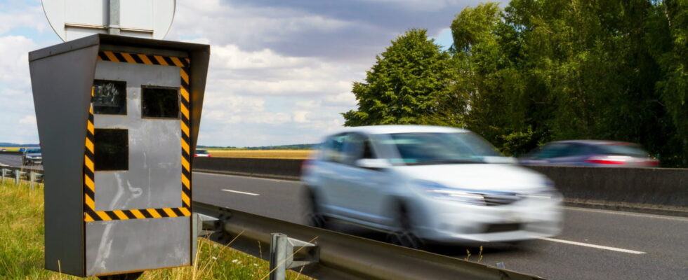
Nearly half of motorists use it when they take the road to avoid being flashed by speed cameras.
On the side of highways, national or departmental roads, the radars do not go unnoticed with their flash. For several years now, these automatic devices have been lining French roads. Their primary objective, as you know, is to reduce road safety by penalizing drivers who have a heavy foot on the accelerator and who do not respect speed limits. But when the fine is issued to drivers who have exceeded the authorized speed by a few km/h, the latter tend to have their noses to their speedometer and to scan the locations of speed cameras.
To avoid being flashed, more and more drivers are using navigation applications, which signal the presence of speed cameras. Of course, not all apps are equal, but the most reliable are in principle those that are updated in real time based on the traffic information received. In this niche, the Waze GPS application, on which millions of people indicate in a few clicks if there is an incident, a slowdown, a work zone or a new radar installed on a road, is for many the app reference to know where the road radars are located. But is she really the best?
A recent American study, conducted by the company MarketWatch, looked into the subject. And against all expectations, it is not the Waze application that is favored by most motorists, but Google Maps. The app, developed by one of the web giants, is the first choice for avoiding the radar, for 70% of those questioned. Next, Waze (27%) then the Apple Maps application (25%). If motorists particularly appreciate Google Maps, it is for its interface and its functionalities which have become familiar through use.
As a reminder also, in France, the law of January 3, 2012 prohibits “the possession, transport and use of radar warning devices”. However, applications like Google Maps and Waze are working to circumvent the regulations by now offering vigilance zones to warn drivers.
