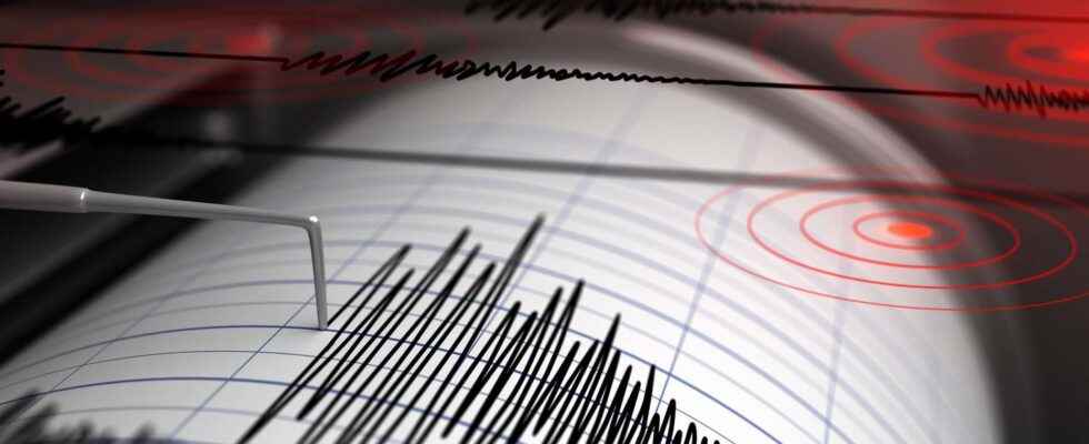
The French territory inherits a long and complex tectonic history. Evidenced by the many faults that incise our basement. Many are still active. To understand them and assess the seismic risk of each region, the BCSF has been carrying out meticulous work for 100 years.
You will also be interested
[EN VIDÉO] A billion years summarized in 40 seconds: plate tectonics Researchers have modeled the movements of tectonic plates over the past billion years.
In 2021, the French Central Seismological Bureau (BCSF) celebrated its 100th anniversary. This organization’s mission is to collect, analyze and disseminate information on French seismicity. In this context, he studies the distribution and activity of flaws which punctuate our territory because, if metropolitan France is not a zone with very high seismic risk, it is on the other hand characterized by a strong structural heritage.
Our subsoil is indeed marked by the presence of large tectonic structures inherited from the geological past of the Eurasia plate. Large faults, some very old, others much more recent, thus cut the continental crust of French territory, and even if they only undergo low rates of deformation, they can still be the source of destructive earthquakes. Knowledge of these faults, of their past and present activity, is therefore essential to seismic risk management.
Varied tectonic environments and processes
Several French regions are particularly marked by the presence of active faults:
Mountainous areas
We can thus cite the Maldeta-Bedous fault in the Pyreneesresponsible for particularly large historic earthquakes, such as in 1373 (Mw 6.5) and in 1923 (Mw 5.6). This flaw accommodates the movements verticals currently experienced by the mountain range. It runs over more than 150 km between the Aspe valley (Pyrénées Atlantiques) and the Val d’Aran (Catalonia). In the Alps, the Vallorcine fault represents one of the most active tectonic structures over the last century. 70 km long, this fault has generated several earthquakes of magnitude greater than 4 and shows regular activity for 30 years. The Vallorcine fault is also clearly visible in the alpine landscape and runs particularly along the eastern flank of the Aiguilles Rouges massif. Seismological data show that it accommodates a dextral movement (shear to the right) associated with post-glacial rebound.
The foreland basins
When a mountain range forms, the compression movement causes the creation of a flexural basin which develops parallel to the range. These basins will serve as deposit areas for a large quantity of sediment resulting from the erosion of the adjacent range. These areas are also intensively faulted. For example, the Ligure fault, which is located off Nice. This fault is associated with the opening of the Ligurian marginal basin, in connection with the formation of the Alps. It would be responsible for a major earthquake (Mw 6.7-6.7) which occurred on February 23, 1887, and which would have notably generated a tsunami. This submarine fault is intensely monitored and studied, in particular thanks to bathymetric, seismic and in situ using submarines from Ifremer.
Let us also mention the faults of Provence, such as the fault of the Middle Durance and the fault of Trévaresse. These two faults show that they have been particularly active in the past. Their gears of landslide would be of the order of 30 to 100 mm per thousand years, which means that they are currently not easily visible in the Provençal landscape. Even if these faults do not seem to have caused earthquakes Earth for several thousand years, this does not mean that they are no longer active.
The Rhine basin
This rift zone is marked by the presence of large border faults that are still active today, and which make Alsace a region with moderate seismic risk.
Margin areas
Several large faults incise the ground in western France, such as the Cévennes fault, which is a very old structure, inherited from theorogen Variscan. In November 2019, the Teil earthquake, of magnitude 4.9, was generated on the northeast end of this fault. This segment was not considered active until now and the occurrence of this earthquake, which did a lot of damage, surprised scientists and relaunched studies on it.
Active faults: long-term monitoring
This type of study shows how varied the tectonic context of the different French regions is. The faults running through the French subsoil result from very different geodynamic processes. These processes can be associated with large-scale and long-term tectonic events, such as the convergence between Africa and Eurasia, the opening of the Atlantic, isostatic movements (glacial rebound), but also more ephemeral processes.
A better characterization of active faults will make it possible to better assess the seismic risk of the different French regions. But this requires a better knowledge of the geometry of the faults, their extension on the surface and in depth. The study and monitoring of the activity of these major faults therefore require the implementation of very diversified means: field observations, measurements GPS, satellite imagery (InSAR), construction of digital models ground, geophysical studies…
Interested in what you just read?