Tag: aerial mapping
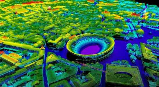
Lidar: a map of France arrives in free access
The National Institute of Geographic and Forest Information is currently working on a high definition topographic map of France. The map will consist of a cloud of points obtained with…
