
Troubled weather on Tuesday and Wednesday in the south of France: an episode of rain and strong waves causes difficulties in the region.
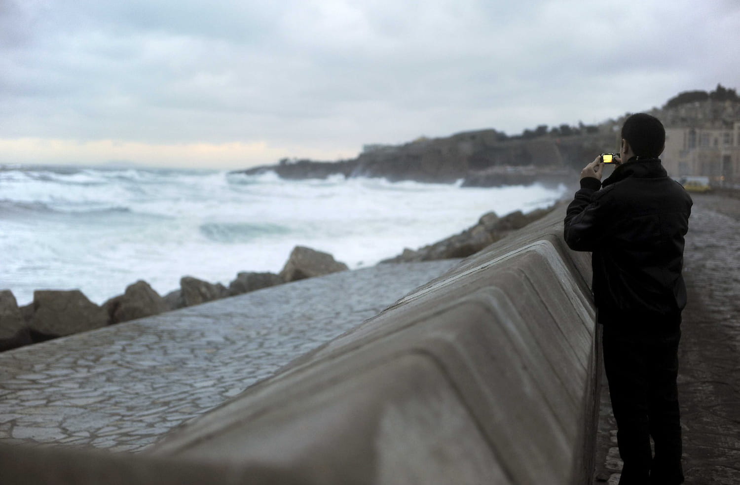
Several departments are on alert. This Tuesday March 26, 2024, as anticipated by Meteo Francethe south of France is facing an “episode of strong waves”, specifically around the Gulf of Lion”. The coast of Hérault is the most affected. If the Pyrénées-Orientales, Aude, Gard and Bouches-du-Rhône are on yellow alert, Hérault is placed on orange alert for “waves-submersion”. The coastline of this department is by far “the most impacted”. Orange alert lasts from 6 hours from morning to noon.
Météo-France adds that “East to South-East winds are strengthening this morning over the north of the Gulf of Lion” and that they are “maintaining before gradually diminishing Tuesday during the afternoon”.
The departments of Aude, Gard and Bouches du Rhône are impacted to a lesser extent by the surges of these strong waves from East to South-East, combined with high sea levels, and placed on level wave-submersion alert. YELLOW.
On the other hand, strong easterly winds generate an east to north-east swell propagating to the coast of Roussillon, placed on wave-submersion alert at yellow level.
Météo-France explains that increased winds added to the already high sea level are at the origin of this risk of submersion. On X, the department prefecture calls for caution “on the coast”. She also recalled safety rules: “During the orange phase: do not go to sea, do not get into the water and stop all nautical activities.” The prefecture encourages the public not to go to beaches or “submersible routes”.

The prefecture indicated that cumulative rainfall between “30 to 50 mm on average” with peaks of up to 80mm in the plains and “up to 120mm in the Cévennes” is expected. Regarding the wind, the Hérault prefecture specifies that gusts between “90 to 100km/h” are to be expected.
The Météo Consult institute adds that during the night from Tuesday to Wednesday, sustained and occasionally stormy rains continue in the southeast. With the cooling of the air mass, the snow descends to increasingly high altitudes. lower in the Cévennes and the south of the Alps, from 800 to 1000 meters”. This Wednesday morning, we should expect the disturbance to “rapidly evacuate towards Italy and Switzerland early in the morning”.
The Weather Channel considers that this episode generates “cumulative rainfall of 100 to 150 mm on the Cévennes summits, which is equivalent to 1 month of precipitation, snow depths of 40 to 60 cm on the southern Alps, with a strong risk of avalanche, maximum gusts of 90-100 km/h from Midi-Toulouse to the south of the Massif Central in Provence, strong swells of 3 to 4 m around the Gulf of Lion to the Provençal coastline.