This month of March is marked by sudden disturbances, notably this Wednesday with rain and snow on the reliefs, from 600m.
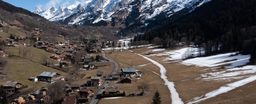
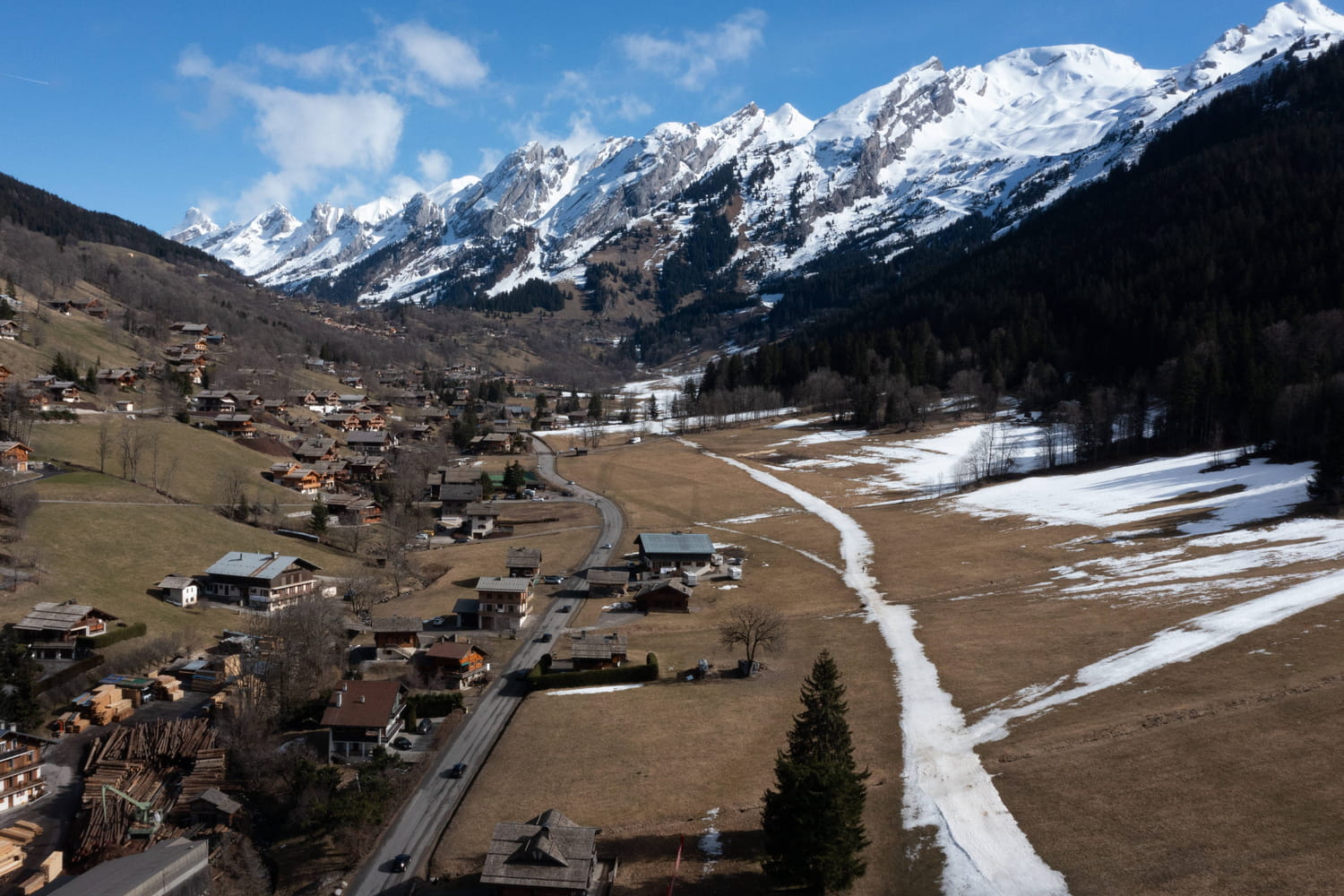
The end of March is particularly surprising in terms of weather: after days of sunny weather, with temperatures well above seasonal norms, the disruptions keep coming. The Easter weekend will be rainy throughout France, but before the end of the week, a cold spell will mark part of the territory. As La Chaîne Météo indicates, “sustained rains have become widespread in the south-east. The rain-snow limit has lowered” this Wednesday March 27, with snow sometimes “up to around 600 to 800m on the reliefs” .
The weather institute adds that snow arrived “from 600 meters above Grenoble, Chambéry and Albertville” and in the southern Alps. And also underlines that “traffic conditions are therefore wintery on the mid-mountain network, including in the Cévennes” and in Haute-Loire in particular.
“Be careful of the snow which can stick to the ground from 800 m altitude in the Southern Alps,” insists La Chaine Météo this Wednesday morning. There is between 5 to 10 cm of snow at an altitude of 800 m, “and up to an additional 50 cm around 1800 m”. Also note this Wednesday March 27: “cumulative rain of 100 to 150 mm on the Cévennes peaks, which is equivalent to 1 month of precipitation with risk of flooding; maximum gusts of up to 120 km/h on the coast of Provence; a strong swell of 3 to 4 m around the Gulf of Lion to the Provençal coast with risks of coastal submersion.
This Thursday, the Weather Channel adds that “the weather is expected to be very rough in the north-west two-thirds of the country, with heavy showers and especially a gale. In the south, the weather will remain calmer.”