Published: Less than 30 min ago
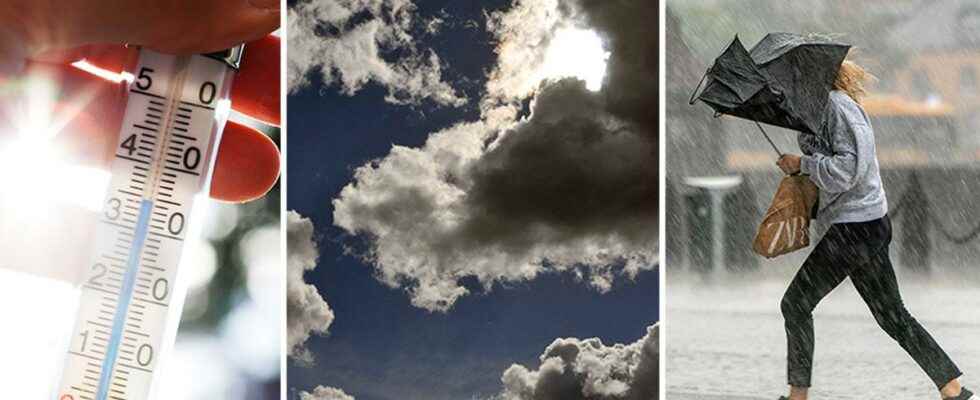
New summer heat is on its way.
But a “sneaky Polish low pressure” could mean that for the late summer holidaymakers.
– There may be heavy rain with elements of thunder. It increases the risk of floods, says Mikael Luhr, meteorologist at Klart.se.
After last week’s warm weather, this weekend’s rain has brought temperatures down. But whoever thought summer was over is wrong. As early as this week, temperatures of up to 28 degrees are expected in some parts of southern Sweden.
– It will be around 20-25 degrees in southern Sweden and around 20 degrees along the Norrland coast. However, a little cooler in the interior of the north, says Mikael Luhr about Monday’s weather.
However, the highest temperatures are expected to arrive on Thursday.
– It will be 27-28 degrees in the inner parts of Götaland, around Mälaren and Gävlebukten, says Mikael Luhr.
Torrential rain
But for those who want the holiday to end with only high temperatures, there is a cloud of worry. Mikael Luhr raises a warning finger for a “tricky Polish low pressure” that will come in during Tuesday.
He says that it is difficult to specify exactly where the low pressure will settle, but large parts of Uppland, Södermanland and Östergötland can be affected.
– There may be heavy rain with elements of thunder. It increases the risk of floods, says Mikael Luhr.
He believes that the heavy rain can become downpour-like.
– It can also affect traffic. That it goes a little slower.
The uncertainty surrounding exactly where the low pressure will settle means that he urges people to keep an eye on the weather forecasts during Monday evening.
During Wednesday, the weather is expected to move north towards the Norrland coast.
Rain for the weekend
If last weekend brought rain, next one won’t be much different. New rainy weather is moving in across the country, although not as strong.
Despite this, in the south you can expect temperatures of up to 25 degrees, while in the north it is expected to be between 15-20 degrees.
The weather is expected to remain over Sunday in southern Sweden. In the northern part it will be slightly sunnier.
Last real summer heat
However, the coming high pressure seems to be the last real summer heat, says Mikael Luhr.
– Probably the last one. It may come in September again, but then it won’t be several days in a row, he says.
For it to be meteorological autumn, the average daily temperature must be below 10 degrees five days in a row. Mikael Luhr believes that will not happen for a while.
– It can be autumn in the mountains at the beginning of September. Then it takes a couple of weeks into September before the weather moves further east or south than the mountain range, he says.
In the rest of Sweden, the summer is expected to be over like other years.
– Autumn usually arrives at the end of September or the beginning of October, says Mikael Luhr.