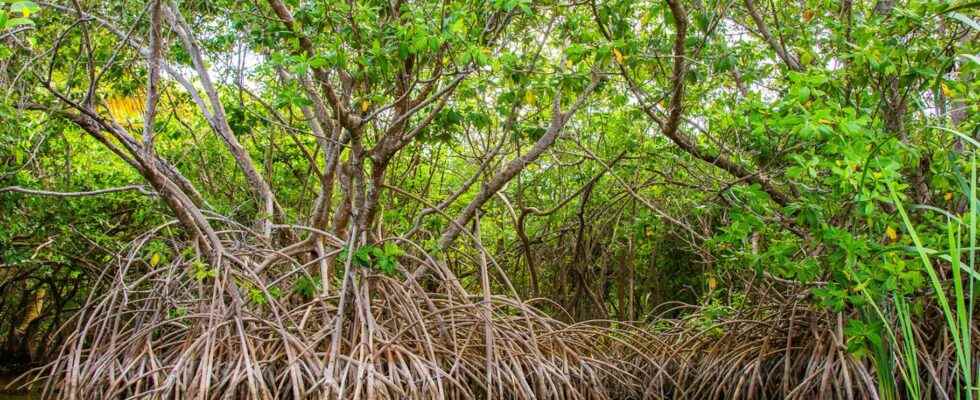
According to the scientific literature, defining the mangrove is a daunting task. According to the specialties or the times, the definition does not indeed make consensus. As a result, one can find figures estimating the total area of mangroves on Earth varying by just over 80,000 km2 at some 200,000 km2. An area extending over two large geographical areas isolated from each other: the eastern region up to the east coast of Africa and the Atlantic rim and the American Pacific coast.
However, one thing seems certain: to sum up the mangrove to a forest in the sea is a bit simplistic. The mangrove would rather be defined as a ecosystem characteristic dynamics of tropical coastlines or subtropical — although some can be found under climates warm temperate –, between 30°C latitude north and 30° south latitude. Mangroves are, even more precisely, located in the swing zone of the tides. That is to say, somewhere between the tides lowest and highest tides.
An imbalance between fauna and flora
Mangroves therefore correspond to maritime marshes. They are mainly made up of mangroves, trees or shrubs with stilt roots. From this point of view, the eastern area harbors more diversity than the western area. And we find no species common between these two areas. Mangroves, as a whole, on the other hand, shelter a wildlife rather rich: oysters, mussels, shrimps, fish, crabs, herons, reptilesetc.
Note also that mangroves are very useful for the protection of land. They represent one of the most productive in biomass of our planet. Since mangroves have rapid growth and high photosynthetic efficiency, they absorb a large amount of CO2. But they are now subject to economic pressures. Because they are exploited by the inhabitants who raise there, for example, shrimp. They circulate there, exploit and also transport other products there. Thus the mudflats, the tidal channels or the pastures are also part of the landscape.
You will also be interested
Interested in what you just read?
