Published: Just now
The weather phenomenon La Niña looks set to last at least the rest of the year, according to the UN.
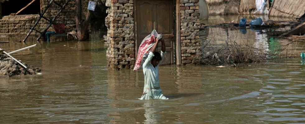
It may be the first time since 1950 that La Niña’s effects are felt on the climate three winters in a row, in the form of drought and floods.
The effects of La Niña, which includes large-scale cooling of the sea surface, have intensified in the eastern and central Pacific Ocean at the height of the equator, according to the United Nations Meteorological Organization (WMO). The long-term phenomenon that is noticeable today began as early as September 2020.
– It is exceptional to have three consecutive years of La Niña events. Its cooling effect temporarily slows the rise in global temperatures, but it will not stop or reverse the long-term warming trend, says WMO Secretary-General Petteri Taalas.
La Niña can cool parts of the Pacific Ocean, affect weather worldwide, and often leads to more hurricanes in the Atlantic and less rain and more wildfires in the western United States. The phenomenon is usually connected with rainier weather in some parts of the world and is a reverse weather phenomenon compared to the better known El Niño, which can lead to higher temperatures.
Normally, La Niña occurs every two to seven years. The last La Niña, which was brief and relatively weak, began to develop in November 2017 and ended in April 2018.
