Google Maps will be able to display the air quality on its maps thanks to a dedicated layer, as for road traffic. A function currently reserved for a few countries, but which will be deployed in France soon.
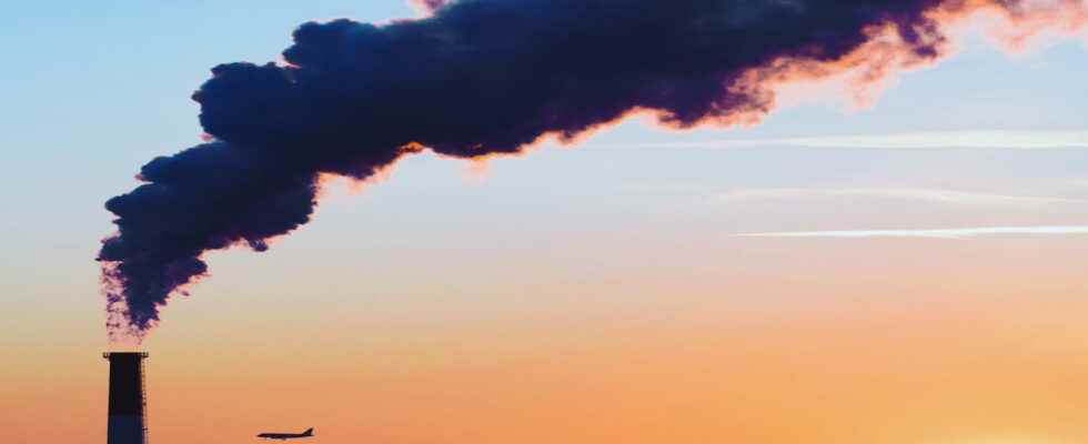
Pollution is a major issue today. For the planet and the preservation of the environment, of course, but also for our health. This is particularly true for air quality, which varies greatly from place to place, depending on multiple parameters. Thus, during episodes of extreme heat – which are likely to become more and more frequent with climate change – the air can quickly become unhealthy in certain areas, particularly in large cities. And it is precisely to help the population to keep informed on this essential criterion and to find more breathable places that Google has developed a new function for Maps, its mapping service.
The famous application has just acquired a new layer to display an air quality index (IQA) directly on maps, exactly as it already does for road traffic, for example. Valuable information that allows you to know the degree of pollution of the air outside where you are, but also to know if it is better to stay inside, to go to an area precise, or, Conversely, look for more breathable places in the event of a pollution peak. In short, a function as practical as the weather forecast on a daily basis!
The air quality index is very easy to know in Google Maps: just display the corresponding layer in the application or online service, as is done for road traffic or terrain. A filter is then activated, displaying the quality index in different places, with a very clear color code and some additional information allowing you to see the most polluted places.
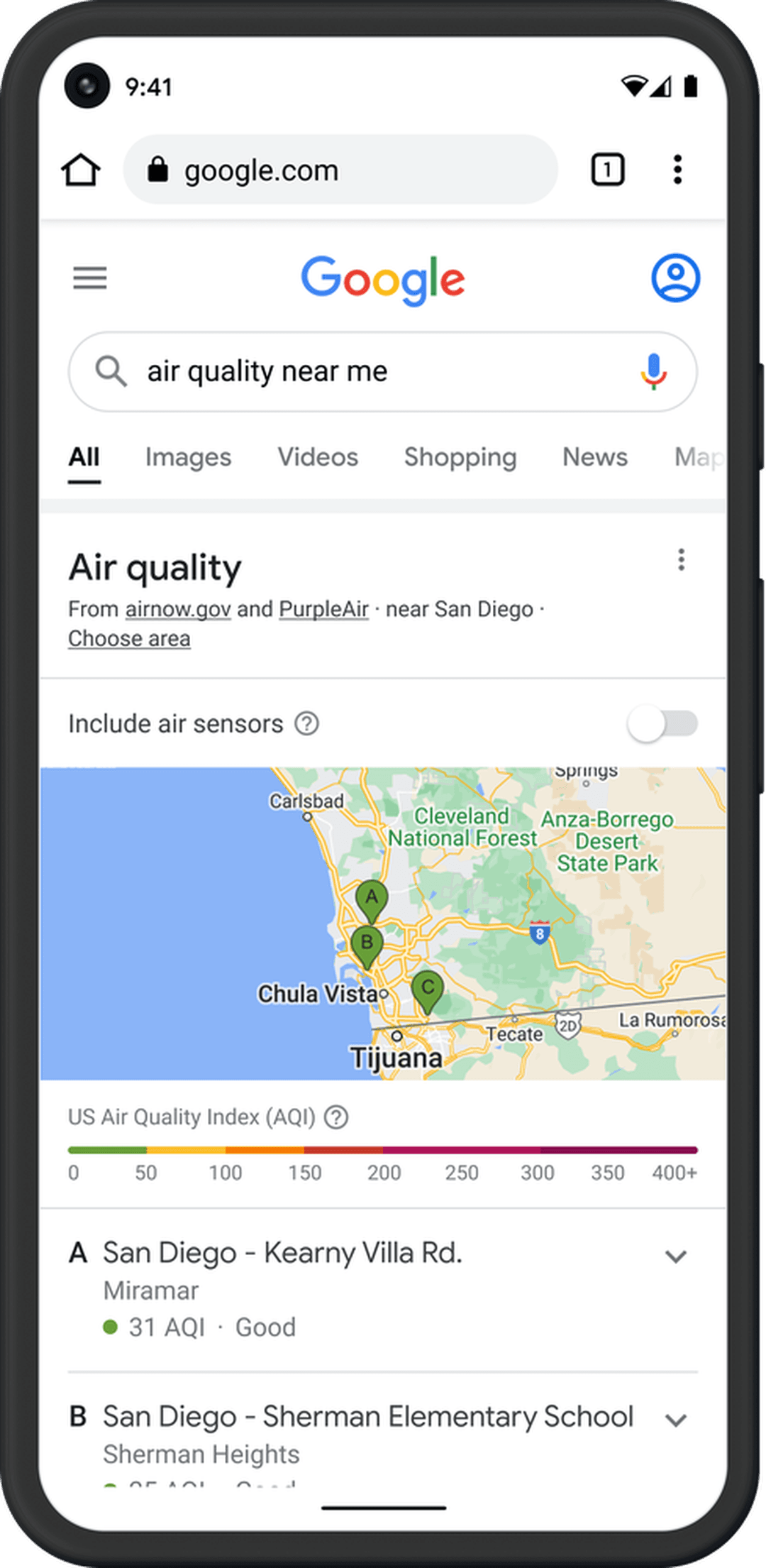
For the time being, this air quality index is only available in a few countries such as the United States, Canada and India. The Mountain View giant has notably partnered with US government agencies – including the US Environmental Protection Agency and PurpleAir, a low-cost sensor network that gives a more local view of conditions. But it is expected that this function will be rolled out gradually in other regions of the world, including Europe. We will therefore have to wait a little longer to enjoy it in France.