Pedestrian routes made in Google Maps are about to become more accurate. The American giant is indeed in the process of deploying its detailed mapping in new European cities, including Paris, Brussels, Prague, Budapest and Amsterdam.
Parisian users will therefore be able to visualize directly on the map the layout of the streets they are supposed to take for their route.
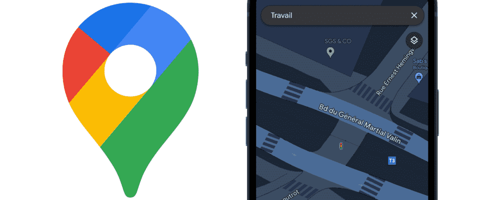
The mapping of Parisian streets is thus enriched and now displays the layout of sidewalks, passages and islands for pedestrians, traffic lights, as well as the shape and width of the road to scale. With this enriched map, Google hopes to offer its users a faster way to explore the city and its space.
Also see video:
The display of this new information will also allow users in wheelchairs or traveling with a stroller to plan their route more easily by avoiding unsuitable areas.