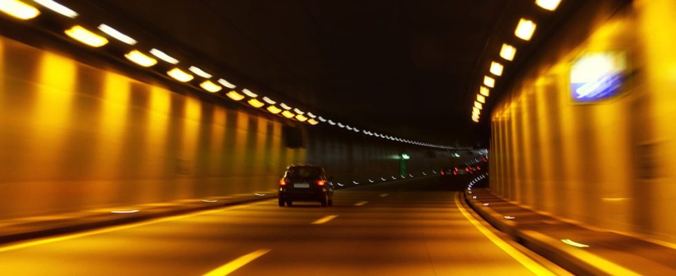
Google Maps is tackling the thorny problem of tunnels with a new update. From now on, the application will rely on Bluetooth beacons to locate you when GPS signals are inaccessible.
Google Maps is a great tool for discovering regions, cities and neighborhoods, by displaying road traffic, terrain and much other information on its maps if necessary, but also for finding a route between a starting point and a destination. arrival point, possibly with stages. The Google tool even offers you several solutions, with alternative routes, more or less short, to adapt to your preferences. And it adapts to your means of transport (by car, on foot, by bike, etc.), while taking into account schedules and expected traffic. But, for all that, the mapping service is not free of weaknesses. Thus, in tunnels, GPS technology often comes up against its limits. Thick concrete walls sometimes block satellite signals, resulting in inaccurate or no position data. It’s then difficult to know which path or exit to take! Google has fortunately tackled the problem with the latest update to its mapping service, which aims to improve tunnel navigation by relying on the use of Bluetooth beacons to determine your exact location when GPS signals are inaccessible.
Google Maps: Bluetooth helps lost drivers
Now, Google Maps can use Bluetooth beacons – also called Bluetooth Beacons – to continue to locate you in all circumstances. These are small devices installed in tunnels and other places where GPS reception is poor. They emit signals that can be received by Android devices to determine your exact location and transmit it to Google Maps. The mapping service can therefore “follow” you thanks to your different connections with the beacons.
The new feature is rolling out to the Android app and is enabled by default. If you do not want to use this function, you can deactivate it in the application’s navigation settings.
► Install the latest version of Google Maps if you have not already done so.
► Tap your profile icon at the top right.
► A pop-up window appears. Press on Navigationat the bottom.
► Scroll down the page and go to Navigation settings.
► At the very bottom is the functionality Bluetooth tunnel beacons. You can check it or not, as you wish.
Thanks to this new function, Google Maps improves its location accuracy in tunnels, provided that the route taken is equipped with Bluetooth beacons. Let us nevertheless temper our enthusiasm regarding this incredible novelty: in general, when you drive in a tunnel, you don’t change direction! Apart from a few exceptions, we can therefore do without a GPS signal… This is mainly for outings tunnel, when there is a change immediately afterwards, it proves useful.


