Arctic rivers provide water and energy to more than 50 million people. They affect ecosystems. And impact the climate on a global scale. Hence the importance of having a detailed understanding of their dynamics. This is what researchers are proposing today. They are already seeing a significant increase in flow rates.
You will also be interested
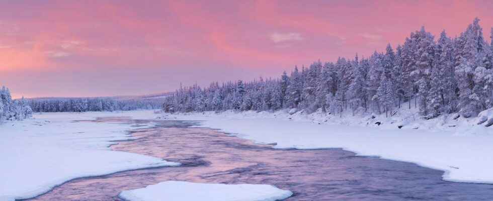
[EN VIDÉO] The arctic is not the same The transformation of the Arctic into a warmer, less frozen and biologically different region is undoubtedly underway today. Under the effect of global warming, temperatures are rising, melting the ice and greening the tundra, triggering gigantic forest fires in the region and profoundly modifying the environment of animal populations living in the Arctic. And consequences are now to be expected for the whole planet. © NOAA
Over 150,000 satellite images. Not far from 500,000 sections of rivers studied over a vast pan-Arctic region. Based on data collected between 1984 and 2018. All injected into hydrological models. The researchers from the University of Massachusetts (United States) involved in the project Remotely-sensed Arctic Discharge Reanalysis (Radr) – understand Reanalysis of arctic landfills by remote sensing – worked no less than three years on the development of a new tool capable of estimating the river flow. Their main conclusion: the acceleration of the flow of water in the Arctic Ocean could be three times greater than what researchers previously thought.
Remember that the rivers of the Arctic drain about 15% of the land of our planet. They have a major influence on local economies. But also on the ecosystems ofpure water and marine and climate around the world. And until then, the available data had remained patchy or unreliable. This hampered scientists’ understanding of the Arctic’s response to the global warming.
While the researchers used to work on the data collected on a few gauges – because, if the method is effective, it remains difficult to implement and maintain due to the important work of calibration to be carried out several times a year, in particular – and on certain rivers – generally the most important – this time, they have integrated a much larger set of information. With the aim of determining the quantity of water that flows into theArctic ocean.
Steps to correct models
“Satellites are like gauges in space”, says Dongmei Feng, researcher, in a communicated. And so the team was able to provide information on the flow of all the rivers – over three meters wide – that eventually flow into the Arctic Ocean, the Bering Strait and the bays. from Hudson, James and Ungava. Note, however, that the study excludes the ice cap from Greenland.
The acceleration in the flow of Pan-Arctic rivers over the past 35 years is thus proving to be 1.2 to 3.3 times greater than scientists had imagined. “Our measurements show that already 17% more water than what the models predicted has flowed into the Arctic Ocean”, underlines Colin Gleason, professor of environmental engineering.
This paper represents 10 years of theory and methods development, and 3 years of hard, hard work by @Dongmei_Feng . Absolute zenith of width-based ungauged river discharge remote sensing, modeling, and assimilation. https://t.co/d977DbFFhZ
– Colin Gleason (@TheGeogrineer) November 29, 2021
The researchers also note large regional disparities. In some places, the water flow of rivers has even decreased. And the patterns between North America and Eurasia turn out to be different. Mongolia, for example, is getting drier and drier.
All this data could soon be supplemented with new satellite images. And the whole could be used for better management of water resources or hydroelectric facilities or even other infrastructures impacted by debits rivers. In the Arctic, but also elsewhere in the world.
Interested in what you just read?
.
fs11