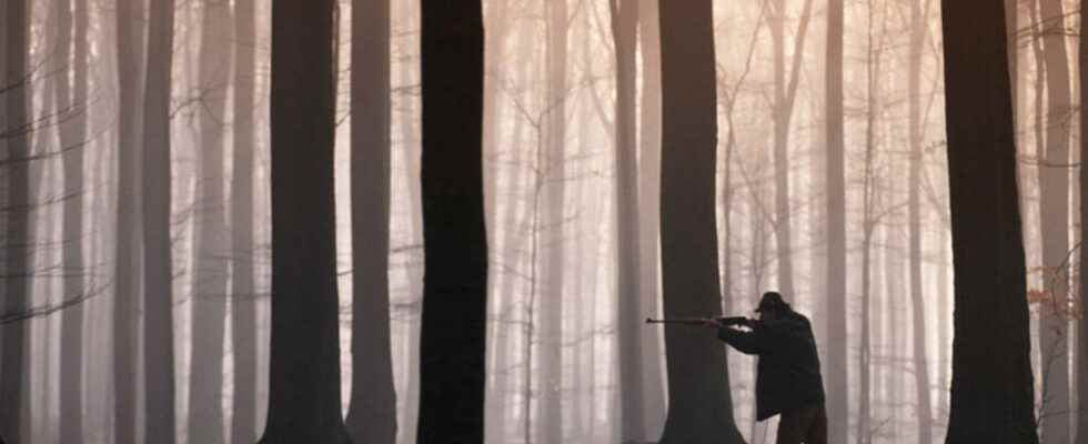
Last February a hunter accidentally killed a walker. The accident reopened the debate on a possible ban on hunting on Saturdays and the creation of a mobile application to geo-locate hunters and beaten areas,
The positions of political figures in France have multiplied online after this tragic accident which took place during a wild boar hunt in Cantal. Some advocated stopping hunting on weekends, others strongly opposed this type of measure, thus reviving the heated debate of “for or against hunting” on social networks.
The government in favor of a geolocation system
In a spirit of harmony, the Secretary of State for Biodiversity, Bérangère Abba, had suggested ” the creation of a geolocation app in which we could know around us, where the hunts take place “. And since then, the question has become one of the subjects raised by presidential candidates.
⚠️ Let’s be clear… Wanting transparency and access to information on hunting actions around your home does not in any way clear hunters of their responsibilities, obligations to respect safety rules and signposting of hunted areas https://t.co/KMzVtdB3En
— Berangere Abba (@b_abba) February 21, 2022
Many geolocation applications have emerged in several French departments. In particular, in Île-de-France, such as the free application Melckone which allows forest users in a collaborative mode to report the presence of hunters and beaten areas during their walks, explains Pierrick Le Cunff, founder and creator of this digital solution for sharing territory, without conflicts of use . ” There are devices in town halls that allow you to indicate hunting territories. Generally, a hunter arrives in the morning and comes to pin on a map the place of his hunt. But this implies that hikers before going for a walk go to the town hall, consult the map and look at the places where the bugs have been put and then adapt their routes accordingly”.
► To read also: Le report of hunting accidents and incidents 2020-2021 on the website of the Ministry of Ecology
The Waze of the hunt
The device Melckone provides easier and more readable access to this information. The operation is simple: the hunters fill in a forest plot where they intend to go. “They indicate the place and time of the start and end of the hunt. This information appears instantly on the general public application so that everyone can take an alternative route if necessary. For this zoning to appear, the hunter must play the game. Sometimes this is not the case, which is why we have designed this application like those that allow motorists to report speed cameras, walkers can indicate live the presence of hunters or the course of their activities. Thus, in a collaborative way, hunters and hikers share information allowing everyone to anticipate possible conflicts of use of the territories they cross”.
Some hunters are hostile to the development of these geolocation applications. As displayed for example on the site Hunting Passionthe very idea of a geolocation of hunters ” raises the question of a certain freedom of action and suggests that they must point when they arrive on their territories ” protest the subscribers of the site.
Will these applications prevent accidents in the future? A government report published in November 2021 recalls that “ non-compliance with safety rules is the leading cause of hunting accidents “. Including in the departments that have adopted these geolocation applications. But let’s remind walkers that they now have time to download this type of application, since the hunting season is over. It will resume in August or September according to the prefectural calendars of the regions of France.
► To read also: France: hunters in the streets to defend traditions and the rural world