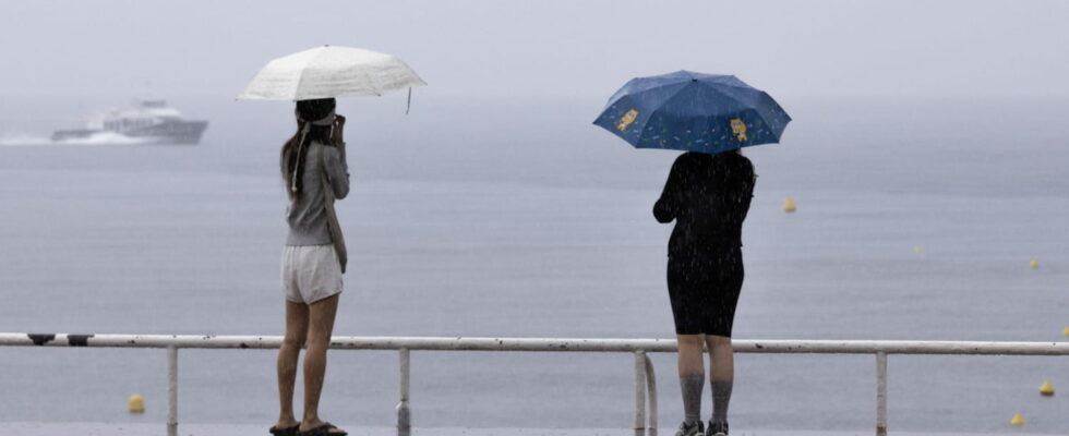
Five departments in the south of France are on orange alert for rain-floods and/or high water, this Saturday, October 26 in the morning.
A week after violent bad weather which swept through France, a new episode of rain settled in the territory this weekend of October 26 and 27. Saturday morning, five departments were placed on orange vigilance for different reasons: rain, floods and high water. In detail, Météo-France has put in orange the Alpes-Maritimes (rain-flood, floods), the Gard (rain-flood), the Var (rain-flood, floods) and the Alpes-de-Haute-Provence (floods). Hérault joined the list on Saturday morning.
The peak of the rains expected this Saturday evening
“Another episode significantly more intense” affects the south-east of France and Corsica from Saturday to Sunday warns The Weather Channelwhich adds: “The day of Saturday, and particularly the evening, seems to be the period most at risk”, with thunderstorms which will follow one another all day. “An episode of heavy, sometimes stormy rain concerns the south-east of the country, more particularly the Gard and the south-east, with an intensification expected on Saturday in the Var and Alpes-Maritimes,” writes Météo-France.
“Locally, accumulations of more than 40mm were recorded, and more generally 10 to 30mm, with intensities of 5 to 20 mm/h,” details the organization on Saturday morning.
“The critical period is between this evening and the night of Saturday to Sunday in PACA and eastern Corsica. A fairly general calm should be felt from Sunday morning, but the episode will not be completely over Indeed, new storms are expected on Sunday evening in these same areas,” according to the Weather Channel.
Significant flood risks
With rain that has already been heavy and is expected to last throughout the weekend, the risk of flooding is real. “The storms are regaining intensity on the Côte d’Azur, especially this afternoon and this evening, coming up from the sea. The storms follow one another all day long. Stationary, but very localized, storms break out in the east of Corsica In this context, rivers can experience strong reactions (Var and Argens watersheds for example. The risk of flooding is significant”, details the Weather Channel.
“Rapid floods are to be feared” particularly in the Var where certain rivers have already swollen considerably, such as the Argens river which went from 1.62 meters Thursday evening to 8.04 meters Friday morning depending on the levels reported by BFMTV. “The rivers may experience significant rises, but more spread out over time and lower than last week,” warns La Chaîne Météo in a more temperate manner. In addition to heavy rains, it is also the soils already saturated with water that increase the risk of flooding.
09:43 – Five departments on orange alert for flooding and/or rain-flooding
Hérault joins the list of departments placed on orange vigilance by Météo France. The day before, four other departments had gone orange: the Alpes-de-Haute-Provence for floods, as well as the Var and the Alpes-Maritimes for rain-flooding.
10/25/24 – 11:16 p.m. – These departments in which the situation could worsen on Saturday
In its last bulletin of the day, Météo-France mentions several territories in which the situation could develop in the wrong direction on Saturday. This is the case for Lozère and Ardèche. Already hit by the bad weather last week, the two departments could see their situation deteriorate with the showers expected until Saturday evening in the Cévennes. Hérault, Var and Alpes-de-Haute-Provence could also see their vigilance worsen due to the numerous showers expected.
10/25/24 – 10:14 p.m. – Now four departments on orange alert
In its update of the 10 p.m. bulletin, Météo-France placed a fourth department in orange: Alpes-de-Haute-Provence. The department is under a flood alert. The Alpes-Maritimes are also subject to an orange alert for floods. The two departments will have to deal with the significant flooding of the Var.
10/25/24 – 9:46 p.m. – What about the Var department? Forecasts
In this department, Météo-France announces “a new worsening of rain and storms” which will begin during the night from Friday to Saturday. It should then continue all day tomorrow, “with accumulations of 100 to 150 mm over a large part of the department and occasionally 200 mm”, indicates the meteorological service. Between Friday and Sunday morning, the threshold of 250 to 300 mm of cumulative rain could be reached occasionally, or even a little more locally.
