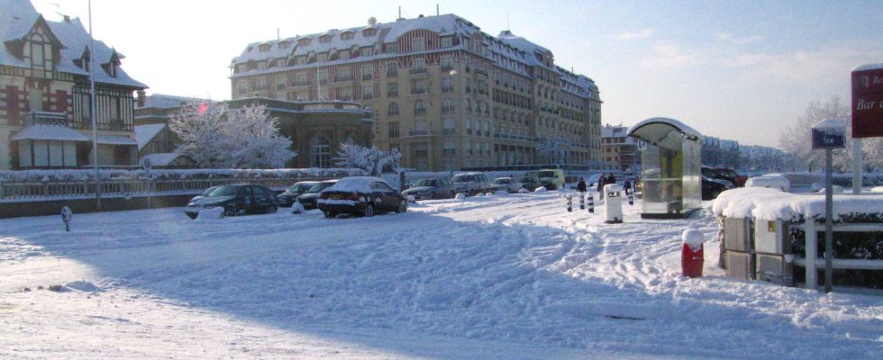
The cold that hit France last week is returning and the snowy episode will be very intense in the north and Île-de-France.
This week, France finds itself caught between two distinct phenomena. On the one hand, an anticyclone coming from the British Isles and “a Spanish low pressure system which goes back towards Central Europe and Scandinavia”, as explained Weather Consult. This combination therefore creates a conflict of air masses located above France, which is accompanied by the occurrence of snow, even in the plains. The heaviest snowfall in the plains is expected on Wednesday and Thursday according to Météo France.
The Weather Channel announces humid weather for this Tuesday evening, with a first slight drop in temperature. In the northern half, temperatures are between 0°C, such as in Chaumont and Chalon-sur-Saône and 4°C in Brest and Cherbourg.
Disruptions are planned from this Wednesday, January 17. Météo Consult explains that a “depression will move up from the Bay of Biscay towards Germany and the Benelux.” Meteorologist Guillaume Séchet explains to Actu.fr that France will encounter a conflict of air masses “between mild air which will rise from the southwest, loaded with humidity, and cold air which will resist in the north”.
The risks of snow in the plains and persistent ice particularly concern the northern part of the country from Normandy to Hauts-de-France and could extend to the south of the Paris basin. The Weather Channel gives these details on the extent of the layers of snow on Wednesday: 1 to 5 cm in the far north, the Normandy coasts and the north of Île-de-France; 5-10 cm in the interior of Lower Normandy, up to the hills of Artois; 10-15 cm, locally 20 cm from the interior of Upper Normandy to the Ardennes; 20 to 30 mm of water in Brittany, up to 90 mm in 24 hours in Morbihan.
Among the departments that are most affected are Seine-Maritime, Oise, Somme, Aisne, Ardennes and a large part of Marne. Île-de-France also seems to be at the heart of the precipitation. According to site forecasts Weather citiessignificant frosts are expected with temperatures dropping to -8°C and -10°C.
By summarizing all the different RUNs and models, the departments that are unanimous on a coverage of #snow significant between Wednesday and Thursday are:
* Seine-Maritime
* Oise
* the Sum
* Aisne
* the Marne
* the Ardennes
Elsewhere, variable scenarios pic.twitter.com/9W6Y6AIZ5v— Guillaume Séchet (@Meteovilles) January 14, 2024
Thursday January 18, the snow forecast continues but is changing. This time, Météo Consult predicts snow in the north-east of France. The site explains that the disturbance “should begin to begin its descent, pushed by cold and dry air coming from the Benelux.” The snow episode therefore mainly concerns the Grand-Est and could extend to the south of the Paris region and Burgundy-Franche-Comté.
Significant snowfall is also expected throughout the Auvergne-Rhône-Alpes region. The massifs of France are also affected by these falls, from the Vosges to the Pyrenees via the Alps. In terms of temperatures, the cold peak should take place on Friday, according to forecasts from La Chaîne Météo with -9°C in Charleville-Mézières and -7°C in Rouen. For the day of Friday January 19, La Chaîne Météo announces a descent of the disturbance towards the Pyrenees and forecasts “snow at low altitude south of the Garonne, even as far as the plain towards the Center-East.”


