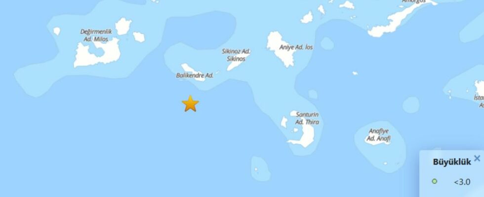
Aegean Seaover 30 in the last 24 hours earthquake It happened. Disaster and Emergency Management Presidency (AFAD), according to information compiled from the data, the Aegean Sea yesterday at 15.51 today to 15.55 today the smallest of 1.3 to the largest 4.8 tremors were identified. Between 4 and 4.8, a total of 8 earthquakes were recorded.
2 more earthquakes of 4.4 magnitude
Disaster and Emergency Management Presidency (AFAD), according to the information on the website, at 20.45 hours, the central base of the Aegean Sea 4.4 -magnitude two jolts were recorded in a row. Earthquakes occurred at a depth of 7 and 6.99 kilometers.
Emergency meeting
Greece Prime Minister Kyriakos Micotakis, Aegean Sea after the earthquakes after the emergency meeting decided.
Activities Canceled
Due to the increasing seismic mobility on the Island of Santorini of Greece, events have been canceled in some closed areas and tomorrow in schools were suspended for 1 day. At the extraordinary meeting organized by the Assembly of Santorini Island, it was recently decided to take measures due to increasing seismic mobility on the island.
Within this framework, all kinds of activities and meetings planned to be organized in closed areas of the municipality today and tomorrow were canceled. Within the scope of the measures, for tomorrow nurseries, primary and secondary schools were suspended. In the decision, citizens were asked to avoid being in Amudi and Paleo Limena (Old Port) regions.
There was a volcanic explosion in 1600 BC
According to the Greek press reports, due to the increase in seismic volcanic mobility, the committee consisting of scientists began to examine the developments closely. Experts in the Board, there is no concern in the light of the current information and similar mobility lasted in 2011-2012 for 14 months, he said. On the other hand, Greece Climate Crisis and Civil Protection Minister Vasilis Kikilyas called on the subject to a meeting. At the meeting, it was decided to take the necessary measures in order to prepare the civil protection mechanism on the island, taking into account the special geological, geomorphological and socioeconomic status of Santorini Island.
The Volcanic Island Santorini, which is located 200 kilometers southeast of Greece in the Aegean Sea, was the last volcanic explosion in 1600 BC. After the explosion, approximately 73 square kilometers of the island was underwater.
Santorini Kalderasi, which was reached by boats from Santorini and separated from the island with some of them underwater, has become one of the areas visited by tourists with its jet black appearance. As a result of the volcanic explosion, the volcanic ground shape formed by the collapse of the soil is called “Kaldera”.