11:39 – The forecast for this Wednesday
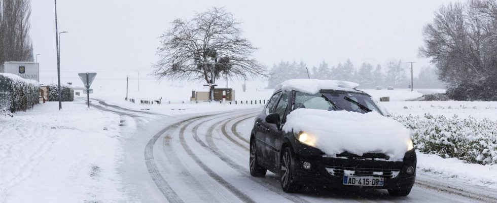
The north of France is particularly affected by precipitation of snow and ice this Wednesday. Météo France indicates that “freezing precipitation has persisted along an axis Seine-Maritime – Picardy – Champagne – Ardennes – Lorraine – Alsace” since this morning and that it is heading towards the south of Nord and Pas-de-Calais in the form of snow. The agency also announces the decline in freezing rain during the day which should be limited to “the north of Picardy in the Ardennes, as well as in the north of Alsace”. The cold air which should reach the north of the territory at the end of the day will contribute to the installation of snow in the face of the ice, “initially from Normandy to the south of Picardy, then in the evening on the Ile-de- France, lower Normandy and the north of Center-Val-de-Loire”. This Wednesday, Météo France announces that “snow accumulations could reach 7 to 10 cm, locally 15 cm in Seine-Maritime/Picardie (especially Somme and Oise)/southern departments of Nord and Pas-de-Calais.” In terms of temperatures, these will remain negative today in Charleville-Mézières and Lille with -1°C and -2°C. On average, temperatures in the northern half are between 0°C as in Strasbourg and 3°C, particularly in Troyes. Only Brittany experiences milder temperatures of between 5°C and 6°C.