The Goce satellite, launched in 2009, has become a vital tool in the geological study of Antarctica. Thanks to the data obtained by the device, the geologists were thus able to determine that an entire section of the ice continent is missing, offering visibility on the past of this little explored region.
What’s hiding under the coat snow capped Antarctica? This is the question many people ask themselves. geologists, as the sixth continent made up of ice is little explored and generally unknown. But a study published by researchers working on the PolarGap mission, published in Nature Communications Earth & Environment this March 9, 2022 explains that a mission in orbit satellite driven bass goce has revealed that part of eastern Antarctica is missing, with an area comparable to that of the United Kingdom. Instead, there is Pensacola Bay, near the massif of the same name. The European Space Agency (ESA) thus published a statement elucidating the details of the PolarGap study.
A continent under the ice
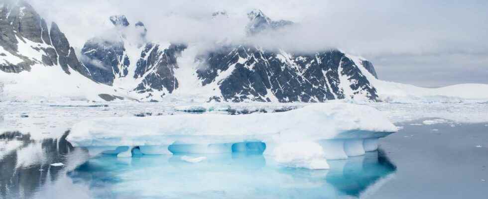
Antarctica’s extreme weather conditions make exploration expeditions on this gigantic mass of ice and snow, the area of which reaches 14 million square kilometers. Inland, temperatures can sometimes drop to -60°C, making the particularly inhospitable region.
Little known, Antarctica had until then remained a geological mystery. But Goce’s data collection allows us to learn more about the lower layers of the South Poleunder the impetus of British Antarctic Surveya British organization at the base of the PolarGap mission. Its members conducted an observation campaign based on Goce, with the aim of providing additional information on the topography and geological formation of Antarctica.
The researchers found that an entire section of Antarctica no longer existed, replaced by a gigantic coastal bay. Geologists explain that the Pensacola Basin is made up of younger rock than expected and that much of eastern Antarctica would have “broken off”. Tom Jordan, geophysicist at British Arctic Surveyexplains in the ESA press release that the origin of this disappearance of part of the ice continent is due to a rifting eventor the creation of a fault in the area where the Pacific Ocean was formed, about 650 million years ago.
Go to the report
the Gravity field and steady-state Ocean Circulation Explorer (Explorer of gravity ocean circulation), launched on March 17, 2009 by ESA, aims to study the Earth’s gravitational field. Goce is equipped with three instruments to carry out its mission ofearth observation : a reflector lasera receiver GPS as well as a gradiometer. The latter allows the probe to detect variations in the planet’s gravitational field according to the accelerations and decelerations of the device. Thanks to these instruments, ESA was able to unveil in 2010 a first geoid of the Earth, making it possible to visualize the deformations undergone by the Earth due to gravity.
The data from Goce and the PolarGap mission are a major step forward in understanding the history of Antarctica. More generally, the researchers say that the study published on March 9 should make it possible to analyze in detail the birth of some continentsat a time when the map of the Earth was still a long way from its current appearance.
Interested in what you just read?