unsaveSave
expand-left
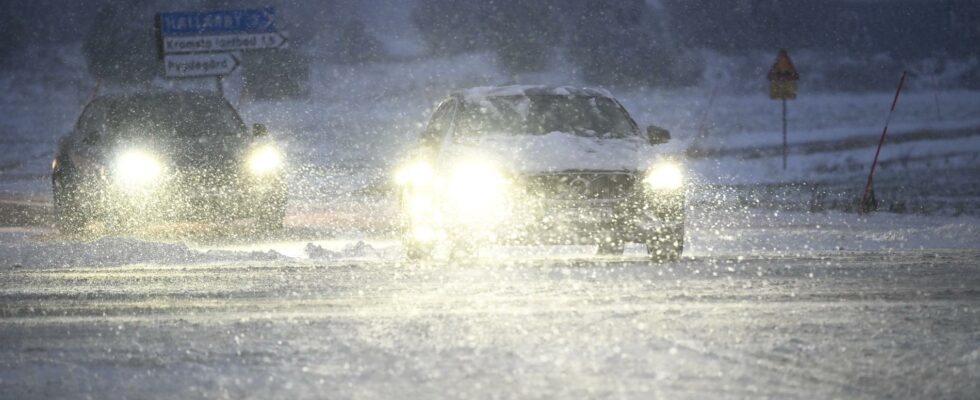
fullscreenSMHI flags traffic problems as a snowstorm moves in. Archive image. Photo: Fredrik Sandberg/TT
The winter weather looks set to make a comeback in southern Sweden towards the end of the week. When a low pressure moves in from the southwest, up to 20 centimeters of snow can fall.
SMHI has issued yellow warnings for snowfall over central and northern Götaland, southwestern and northwestern Svealand and southernmost Norrland. The warnings apply from Thursday morning and approximately one day ahead.
During the night to Friday, a yellow warning for snow is also issued for the southern coast of Norrland.
The storm can cause disturbances in the electricity and telecommunications network and in traffic.
“Travel times can be longer due to slippage, poor visibility and snow. Allow more time for your journey and adjust your speed to road conditions and visibility,” SMHI writes on its website.
“It can be difficult to get around in traffic due to snow on the roads, traffic accidents or stationary vehicles.”
The low pressure is moving in a north-easterly direction over the country. The extensive precipitation area may first bring rain in southern Sweden, but later turn into snowfall in many places.
Around 10–15 centimeters of snow can fall, locally 20 centimeters.
