Météo-France placed 11 departments in Île-de-France and the Centre on alert this Tuesday, July 30. Heavy rainfall is expected at the end of the day.
Météo-France’s orange storm alert runs from 6 p.m. to midnight this Tuesday, July 30, 2024. While the heatwave has settled in France since Sunday and a large part of the country is suffocating, 11 departments will experience a stormy and rainy episode of a certain intensity at the end of the day. The following departments are concerned: Île-de-France and part of the Center. In detail, the orange storm alert extends to the following departments: Paris, Hauts-de-Seine, Seine-Saint-Denis, Val-de-Marne, Seine-et-Marne, Yvelines, Essonne, Val-d’Oise, Eure-et-Loir, Loiret and Loir-et-Cher.
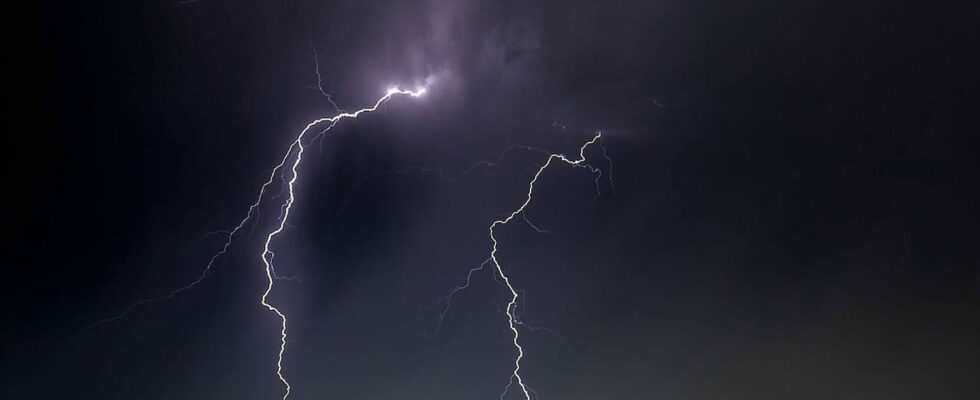
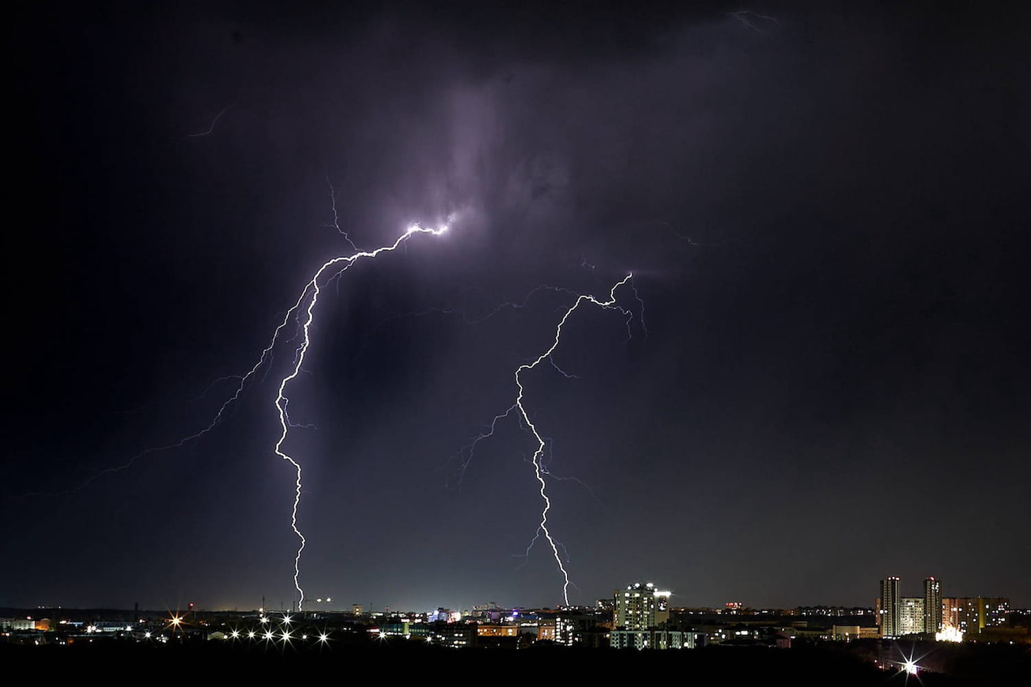
In its latest bulletin, Météo-France speaks of a “stormy situation requiring particular vigilance as there is a significant risk of violent phenomena”. Specifically, from the early evening, in the north of the Centre and in Île-de-France, aThe stormy deterioration is “probable” and a risk “considered very significant” of having strong storms exists. These violent storms could thus be accompanied by intense precipitation, ranging from 20 to 40 mm in less than an hour. Hail, gusts of wind as well as “sustained electrical activity”, i.e. numerous lightning strikes, are also announced. Météo-France specifies however that “these phenomena will be localized”. Still according to the latest information communicated by Météo-France at the beginning of the afternoon, it seems that the storm warning will not continue tomorrow.