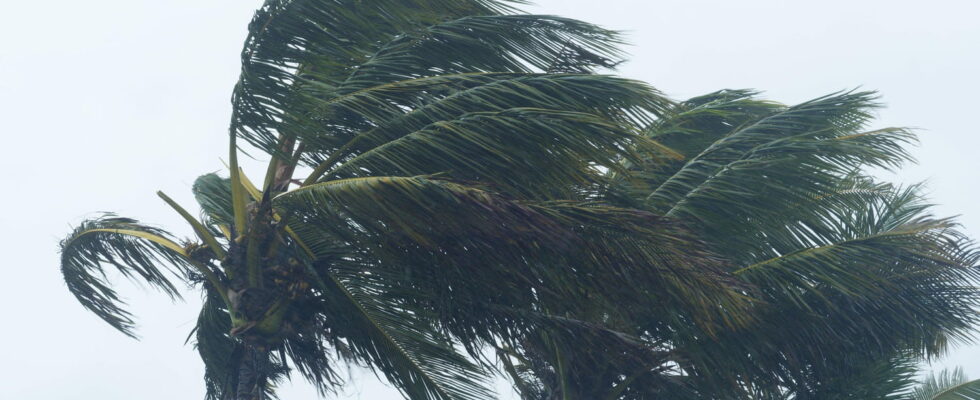
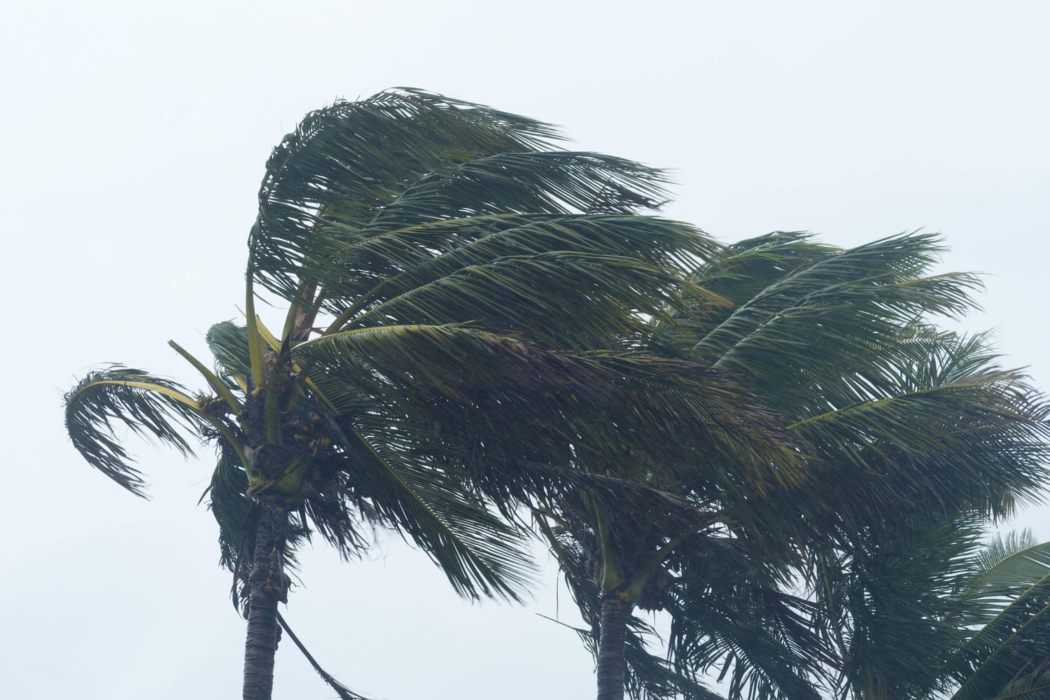
Reunion Island will go on a cyclonic red alert this Thursday, February 27 at the end of the day while the Cyclone Garance must approach less than 50 kilometers from its coast in the morning of Friday. Gusts at more than 150 km/h and waves 8 meters high are announced.
Cyclone Garance began a turn towards the south and the island of Reunion. The meteorological phenomenon which was still only a storm a few hours ago has become an intense tropical cyclone this Thursday, February 27, on its trajectory guiding it to the French island of the Indian Ocean. Consequently, the Reunion prefecture announced the outbreak of the red cyclonic alert from 7 p.m. this Thursday (4 p.m. in Paris). The cyclone should only sweep the island on the night of Thursday to Friday and more likely in the morning of Friday, February 28.
“Garance should today benefit from favorable environmental conditions and stay at the stadium of Intense tropical cyclone just before a passage as close as possible to the meeting in the morning on Friday,” wrote Météo France in its latest assessment. According to forecasts, it is possible that the Cyclone Garance “meets unfavorable environmental conditions and begins to weaken” a little before touching the meeting.
Gusts at more than 150 km/h expected
This Thursday at 10:30 am, Hours Reunion, the Cyclone Garance was 270 km from the coast north of the island. But the phenomenon should pass “in the immediate vicinity or even on the meeting”, that is to say less than 50 kilometers from the sides in the best scenario according to Météo France. “A very significant degradation of weather conditions in terms of heavy rain, gusts of winds and sea state is very likely with a significant risk of cyclonic conditions on all or part of the island,” adds the meteorological agency in its latest assessment. It is therefore gusts going to more than 150 km/h which are expected.
If the forecasts for the power of the cyclone Garance seem to be confirmed, the trajectory of the phenomenon is still uncertain indicates the weather chain. Two scenarios are envisaged, that of the American model GFS and that of the European ECMWF model: if one provides for the passage of the eye of the cyclone to the east of the island, the other imagines it passing through the west. Two possibilities which “would cause large local differences in terms of gusts of wind”. For the time being, the trajectory passing through the west of Reunion leading to maximum gusts on the northeast coast is mainly retained. The Météo France agency specifies that the Cyclone Garance “keeps a small size” and that “more than 150 km from the center, the rainy and windy effects of the system promise to be relatively limited”.
Before the arrival of the strong winds, the first signs of weather degradation are visible on the coast with a very agitated sea and waves reaching 4 meters on average at 1 p.m., local hours. The waves should approach 5 to 6 meters at the end of the day and do up to 8 meters in the night.
A red alert and total containment
The cyclonic red alert is the third level of vigilance on a scale of four. When activated, total confinement is imposed on the population, with the exception of emergency services and the police likely to be called on interventions. The alert is given with a notice of three hours minimum before the start of the cyclone passage to allow residents to return to their home or their place of containment.
It is recommended to telephone only in the event of a need to leave the telephone network for emergency services, cut the electric current, close all the outlets, move away from the windows and keep informed. Before the cyclone passage, it is advisable to make water and food reserves.
The previous cyclonic vigilance concerning the meeting dates back to January 2024 with the passage of the BELAL Cyclone. At the time, the purple alert, the maximum level of vigilance, had been triggered prohibiting any displacement including for help and police.