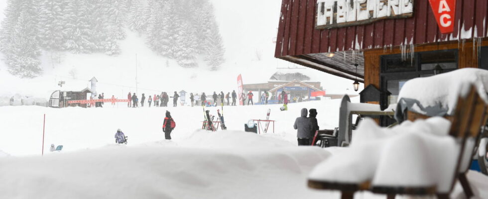
A deterioration is coming to France this week. Snowfall and an icy feeling are forecast in several departments which will be monitored on Tuesday, December 24, for risks of snow and ice.
Snow for the end of year celebrations. Météo-France has placed 19 departments on snow-ice yellow vigilance for this day of Tuesday, December 24. Are affected by this alert: Ardennes, Aube, Côte-d’Or, Doubs, Drôme, Jura, Marne, Haute-Marne, Meurthe-et-Moselle, Meuse, Moselle, Nièvre, Bas-Rhin, Haut-Rhin, Haute-Saône, Saône-et-Loire, Vosges, Yonne and the Territoire de Belfort. Ain, Savoie, Haute-Savoie and Isère are placed on orange snow-ice alert by Météo-France, the last three departments also being on alert for the risk of avalanches.
Motorists are called to be “greatly vigilant” on the roads and to drive equipped with winter tires or chains. Also be careful in the many departments of the East, Center-East and South-West. “Large avalanches” will also be triggered as the snow episode progresses, Météo-France predicts. They “will be able to reach exposed mountain roads as well as high-altitude infrastructure”.
Freezing temperatures
In addition, temperatures will gradually drop this week. From Wednesday onwards, it will be very cold with temperatures becoming wintery, 3 degrees below seasonal norms on average. The feeling could be icy. Temperatures will not exceed 10 degrees in the afternoon in the north and even 7 degrees on Thursday. In Alsace and Franche-Comté, they could even fall below 0. Snow will also be there from Tuesday and from 800 meters above sea level, especially in the Vosges, the Jura, the Northern Alps and the northern slopes of the Massif Central. As the week progresses, snowfall will occur more and more at low altitude: it could reach the level of the plains, particularly in Lorraine, Alsace and in some departments of Auvergne-Rhône-Alpes.
