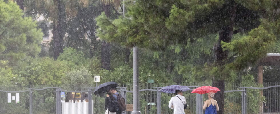
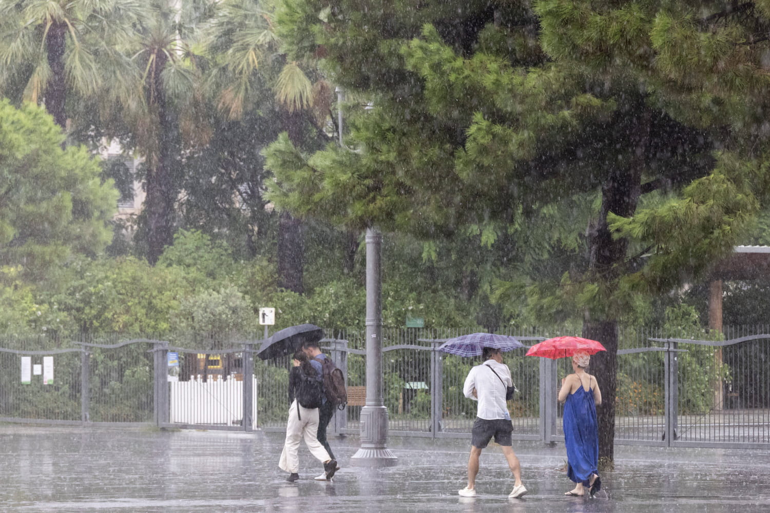
A strong disturbance will cross France this Monday and Tuesday. Three departments were even placed on orange alert for “rain-flooding”.
The rain is not going to stop over the next few days in France. The entire country is affected by a stormy rain disturbance on Monday October 7 and Tuesday October 8, from the Pyrenees to the east of the country. A highly intense Cévennes episode will also begin at the end of the afternoon, this Monday, with heavy stormy rain and wind. The “precipitation promises to be very intense between Languedoc and the Cévennes, over a ‘relatively short’ duration not exceeding 24 hours”, specifies The Weather Channel in its latest special press release this morning.
In total, 43 departments are placed on alert for rain and/or thunderstorms this Monday, according to Le Chaîne Météo. For his part, Weather France announces the transition to orange “rain-flood” vigilance for three departments: Ardèche, Lozère and Gard. “Rather-stormy deterioration on a fairly large scale and unusual for the month of October (except for the Cévennes regions)”, are expected at the start of this week precisely, Météo France. The level of vigilance could even be revised upwards in the coming hours.
This Monday, cumulative rainfall could reach up to 100mm in the Massif Central, Franche-Comté, Lyonnais as well as the Var and the Alpes-Maritimes. Which is about two weeks, up to a month of rain. This Monday, “in the Ardèche Cévennes, the accumulations could rise to 200 mm. Risks of overflowing or flooding of rivers as well as occasional flooding are possible, especially as this precipitation will fall on soils already saturated with water. “humidity, from Burgundy to Auvergne mainly”, indicates The Weather Channel.

In the afternoon, hailstorms could fall from the Aquitaine basin to Burgundy. Precipitation will increase this Monday evening in the Cévennes, Hérault and Gard due to a strong sea wind. The Weather Channel mentions the “beginning of a Cévennes and Mediterranean episode which will last 24 hours”, with significant intensity.
An evacuation of the disturbance Tuesday evening
“As a result, heavy stormy rain accompanied by strong wind (100 km/h) will fall all night from Monday to Tuesday, from the Cévennes to Franche-Comté and south of the Alps to Isère via Lyonnais. the Rhône corridor will then experience very degraded weather conditions. The neighboring departments will also be affected, in the PACA region, Auvergne-Rhône-Alpes and Franche-Comté, but to a lesser extent”, adds La Chaîne Météo. In detail, Weather France indicates that “during the night from Monday to Tuesday, an active rainstorm episode will affect the Cévennes regions. The precipitation will be intense and could lead to accumulations of around a hundred mm in 3 to 6 hours. Over the episode (approximately twelve hours) it is expected from 150 to occasionally 200 mm.
For Tuesday, rain and strong storms will affect the Rhone corridor and the PACA region as far as the Alps and Franche-Comté. The alert could therefore be extended. “In these central-eastern regions, given previous rainy episodes and saturated soils, hydrological reactions could be significant,” warns La Chaîne Météo. However, the intensity of the rain will decrease on Tuesday afternoon, before the disturbance evacuates towards Italy on Tuesday evening.