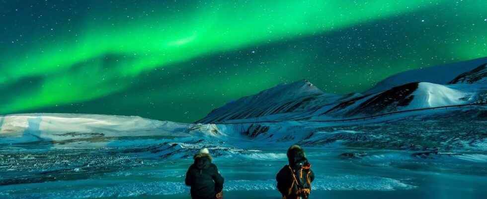
We call the polar circle, one of the five main parallels – an imaginary geographic line – represented on the maps of our planet. In fact, there are two polar circles, one in the north which is also referred to by the term arctic circle and the other to the south, which is also called the Antarctic Circle. Their latitude, respectively north and south, corresponds to the inclination of the axis of rotation of the Earth with respect to the celestial axis (obliquity), i.e. some 66 ° 33 ‘. Thus their angular distance to the poles is identical to that which separates the tropics of the’equator.
Another way, perhaps more practical, of locating the Arctic Circle: beyond, you can enjoy there, in summer, at least one day during which the Sun does not go to bed – and vice versa in winter. However, the Sun not being reduced to one point, it is still possible to observe the midnight sun at sea level some 90 kilometers north of the antarctic circle or south of the arctic circle.
An imaginary line that moves
Note that the exact position of the polar circles varies slightly over time. About fifteen meters per year to the north now. The obliquity is indeed not constant and follows cycles of periods ranging from some 19 years to more than 40,000 years.
The areas beyond the polar circles are not the most hospitable. There is a polar climate, cold and harsh. Few cities were built there. Murmansk, in Russia, has some 325,000 inhabitants. But it should be noted that in the south, the polar circle almost delimits Antarctica, a extreme continent where a few researchers reside.
You will also be interested
Interested in what you just read?
.
fs12
