To ensure your safety, Google is rolling out a new real-time forest fire tracking feature in France. The Google Maps app will now show fires, their progress and risk areas using AI.
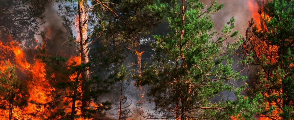
Global warming wreaks havoc every summer, with periods of drought leading to a sharp increase in forest fires. Since July 28, a huge fire has been raging in California and has already consumed 141,640 hectares of forest, roughly 14 times the size of Paris. Buildings destroyed, cars burned to the ground, residents evacuated… It is quite simply one of the worst fires in its history. France is not immune to this phenomenon: in 2023, no fewer than 2,671 fires covered a total of 5,292 hectares. Also, to deal with this threat, Google has announced in a blog post that it was deploying in Europe, this Thursday, July 30, a real-time tracking function for forest fires on Google Maps. Released in 2020 in the United States, it allows you to stay informed about fires and predict their extent thanks to AI.
Google Maps: real-time monitoring thanks to AI
“Using AI, we are able to display detailed tracking of wildfire boundaries in search engines and maps, as well as through location-based push notifications.”explains the Mountain View firm. Users near fires receive detailed information on risk areas, allowing them to avoid dangerous routes and take appropriate precautions. A way to improve their safety, especially when traveling. Note that notifications are sent in the language of the country concerned or in that of the vacationers.
To achieve this feat, the Mountain View firm relies on two technical elements: low-orbit satellite imagery and machine learning programs. Indeed, satellite images are generally very large, sometimes the size of a continent, and are not always provided in real time. Also, for greater precision, the AI will compare them to a vast database of information based on measurements taken during previous fires, as well as to other models verifying the existence of fires. This technique then allows it to more accurately delineate forest fires and update maps in real time.

Google has decided to deploy its forecasting tool in fifteen new countries in Europe and Africa, including France, Greece, Turkey, Spain and Italy. At least 1.4 million people received an alert in Europe and Africa in the first week of July alone, according to the company. Forest fire tracking is already available in the application and does not require an update. Here’s hoping you never have to use it!