15 departments are on orange alert for thunderstorms. Heavy rain is expected in the afternoon from the Massif Central to the Adennes.
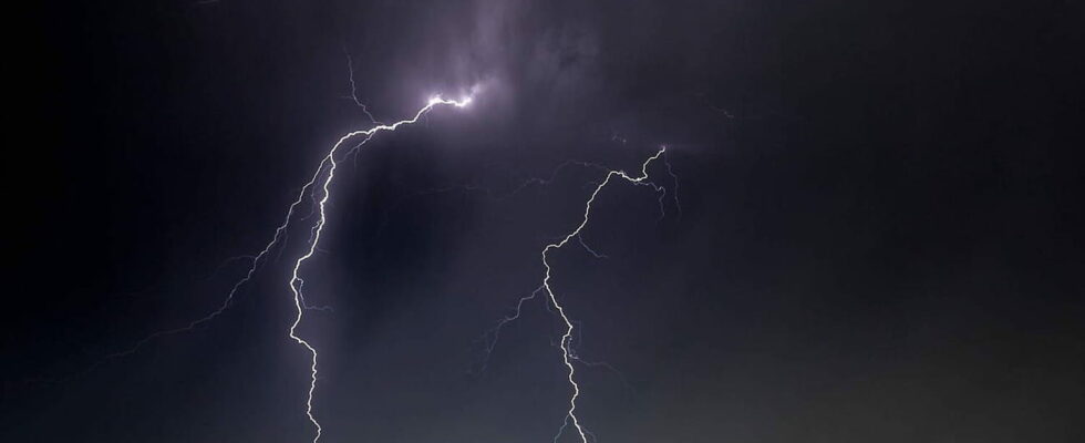
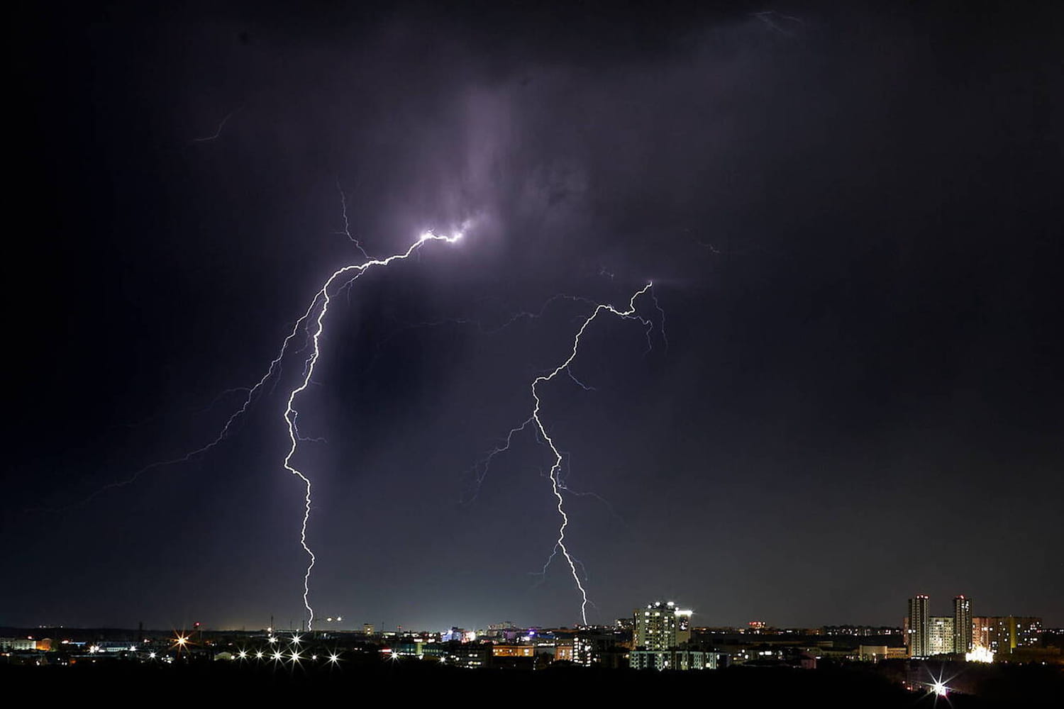
Météo-France has placed 15 departments on orange alert for thunderstorms this Saturday, July 20. The Ardennes, Marne, Haute-Marne, Aube, Yonne, Côte-d’Or, Nièvre, Cher, Allier, Saône-et-Loire, Loire, Puy-de-Dôme, Rhône, Haute-Loire and Meuse are affected. After several days of sunny weather and high temperatures, a “clear stormy deterioration will occur in the afternoon and evening” in the departments concerned, informs Meteo France.
Hail, rain and wind
Météo-France warns of a risk of strong gusts of wind, hail and intense precipitation in the orange alert zone. These storms are explained by a conflict of air masses between the warm air rising from North Africa and the cooler air arriving from the west. An improvement is expected during the night of Saturday 20 to Sunday 21 July. The start of the day should be calm in the fifteen departments placed on orange alert.
People in the affected departments are urged to be vigilant. Météo-France is warning of “violent storms likely to cause significant damage locally”. After the drought of recent days, it is also possible that “a few fires may start [soient] recorded in the forest following lightning strikes not accompanied by precipitation”. In addition, “special attention” is requested by the meteorological institute “as there is a significant risk of violent phenomena”, such as winds which could damage structures and trees.
A large part of the territory is classified as yellow by Météo-France. Light rain is expected, which should freshen the air at night and during the day on Sunday. Only the east of France is classified as green.