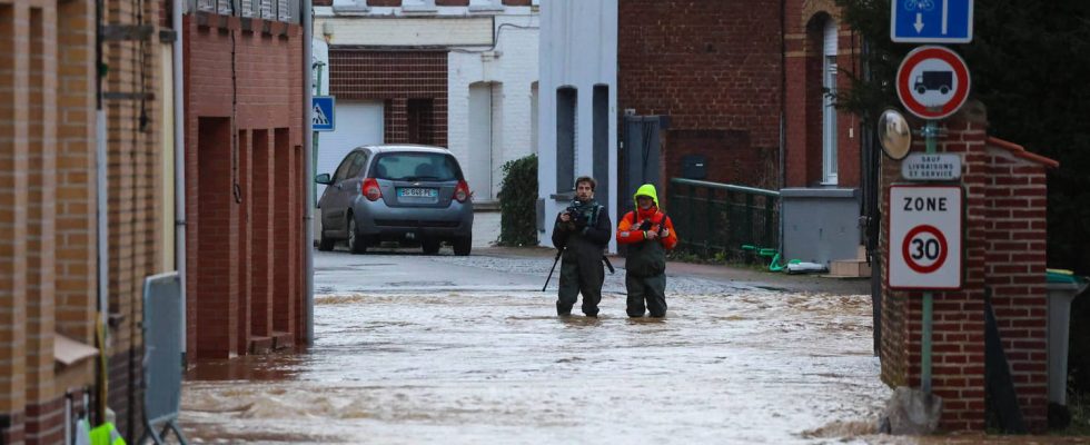
Pas-de-Calais is experiencing very significant flooding at the start of the year. If the levels have stabilized, a clear decline will only occur during the next week.
Was the peak reached in Pas-de-Calais? According to Vigicrues, the organization responsible for monitoring French waterways, a decline began on many rivers in the sector this Thursday, January 4. And in particular on the Aa, the coastal river placed on red vigilance but also on the Lys-Amont, the Hem, the Liane and the Helpe Minor, on orange vigilance. But the return to normal is not this week. The department’s watercourses remain at abnormal levels. If the trend tends towards an overall decline, this dynamic will clash with the new precipitation which will fall on the department in the coming hours.
“The rain expected on Thursday and Friday morning should keep the levels high and could cause a further increase” on the Aa, assures Vigicrues, in its bulletin dated Thursday, January 4. “In the same way, on the Hem, the Helpe and upstream of the Lys, the rains from Thursday to Friday should slow down the current decline, or cause a new rise without reaching the levels of the previous days,” adds the ‘body. According to Météo France, rain will fall in the area until midday, Friday January 5.
A change in weather next week
To try to speed up the receding process, four civil security mega-pumps, including two of high capacity, arrived during the night from Wednesday to Thursday and are now operational. Two of these pumps must each pump 5,400 m3 of water per hour, indicates France 3 Hauts-de-France. For the moment, the resources made available in Pas-de-Calais and the North make it possible to evacuate 65,360 m³ of water per hour.
Showers will continue to affect Pas-de-Calais and the North during the weekend of January 6 and 7, but they should be of less intensity than those that have fallen so far. And the outlook for next week is good. The affected areas will benefit from a change in weather from January 8. According to Météo France, the week of January 8 to 14 should actually see “a strengthening of anticyclonic conditions” over France, which should make rainy periods “few”.
