SAHARA SAND. This Wednesday, March 16, many French people discovered their car windows covered with a thin orange layer, the hue of a sunset. Do not panic, it is simply the deposit left by the sand of the Sahara which is currently flying over France and Europe.
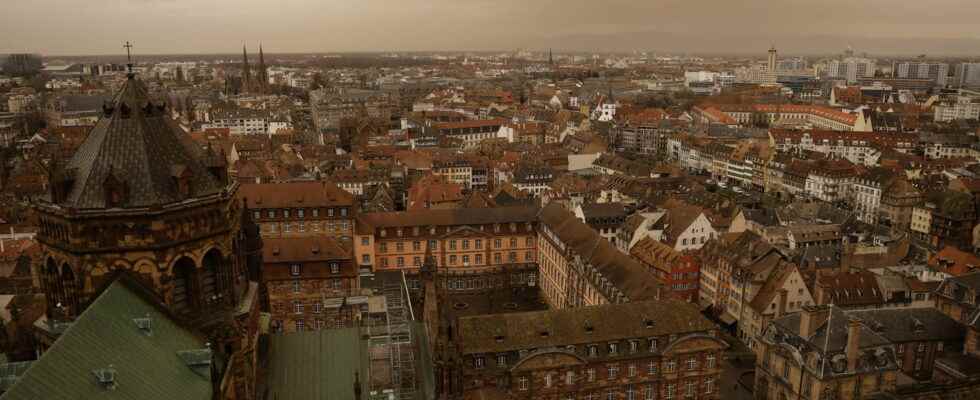
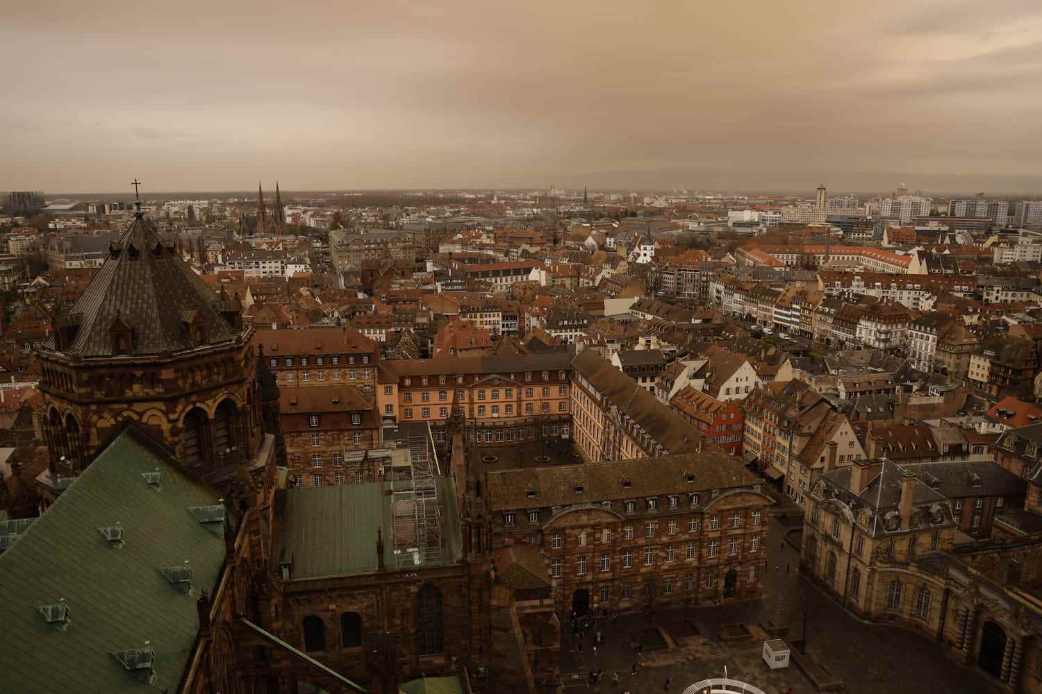
[Mis à jour le 16 mars 2022 à 13h10] Since March 14 in the morning, large quantities of Saharan sand have been flying over France, with deposits expected as precipitation passes. The sky should also change color, and this in several French regions, in particular in the West this Wednesday. Pretty colors could be observed in Tours, Chambord or even in the Pyrénées-Atlantiques, the most affected territory on March 15, according to the Central Air Quality Monitoring Laboratory. How to explain this strange phenomenon?
The orange sky that the French can observe in mid-March is actually linked to an upwelling of sand from the Sahara. This meteorological phenomenon, while impressive, is rather common: Weather Paris indicates that it occurs several times a year, or even every season depending on the period, winter being its favorite season since the atmospheric circulation there takes on a very marked meridian component. In France and Spain, it even has nicknames: sirocco and calima respectively. It takes place when an Atlantic depression dips south and positions itself over the Iberian Peninsula, raising a strong warm wind from south to southeast over the Maghreb. If the wind is sufficiently persistent between this sector and France, this dust directly reaches our territory and can lead to precipitation.
It is at this time that we observe deposits on the ground and a modification of the colors of the sky. This time, the depression is particularly important: it isolated itself towards Morocco on March 14, while, at the same time, the anticyclone firmly anchored itself over the center of Eastern Europe, overflowing on the Mediterranean. The strength of the wind, the geographical extent and the duration of the phenomenon make it an event, despite the frequency of this type of event in France. This south-to-southeast flow, dynamic enough to advect sand dust to our lands, first spread large amounts of sand dust to southwestern Spain on March 14. When was France affected by these deposits? On March 14 in the evening, rains came up over the south-west of France, before reaching the central regions such as Bordeaux or La Rochelle, covered with a rain of sand, on the night of March 14 to 15. This dust sandy areas currently extend to the north. Higher concentrations are expected to remain in the south-west, before flowing out through the German borders.
On March 15 and 16, Parisians were able to observe dry and wet deposits in the streets of the capital, a little after the French regions further south which were affected from March 14. Guillaume Séchet, from Météo Villes, explained to the newspaper Le Parisien that the massive phenomenon would reach Paris on the 16th, making its sky “very milky, a little phosphorescent, before clearing under the effect of the North-East winds”.
Significant dust concentrations in the west, particularly in the South-West, first affected on Tuesday March 15, moved towards Aquitaine on March 16. In New Aquitaine, PM10 suspended particle levels will increase this Wednesday, enough to degrade the Atmo clues air quality in the departments of the region. The prefect of Pyrénées-Atlantiques even triggered the fine particle pollution alert procedure for these two days. The sand, once passed through the center of the territory, should reach the North during the day of March 16.
“It seems that, compelled by some marvelous lamp, a genie from the Orient kidnapped him during one of the thousand nights, and stole him from the countries of the sun to hide him in those of the fog with the loves of a beautiful prince.” Alfred de Vigny#Sand #Sahara #Storm pic.twitter.com/YVFDN4EIXU
— Chambord Castle (@domainechambord) March 15, 2022
The peak should be reached in the northern half of France on Wednesday 16 March… Day when all the French regions will be overflown by Saharan sand and when deposits will be visible on vehicle bodies. Since this peak could last until Saturday March 19 and the dust it propagates is harmful (because it contributes to the rise in the level of fine particles), it is recommended to wear a mask when traveling in outdoors, especially for people with respiratory problems. If health risks exist, they are no worse than those of classic air pollution: Météo-France has not communicated any operational color forecast, because this phenomenon will normally have no real impact. on personal safety.