Save the article
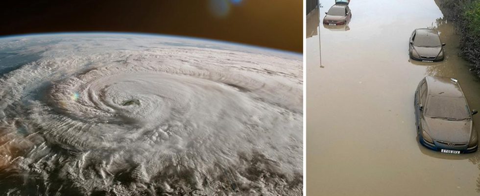
Monster storm Ciarán is heading full force towards north-west Europe.
The advance is believed to be “fast and explosive” – with floods as a result.
A deep low pressure area is currently moving in over northwestern Europe.
The strong winds are driven by the jet stream and have been named Ciarán.
On platform X, the storm is described as very powerful and has been called both “bomb cyclone” and “monster storm“.
Ciarán is expected to arrive on the Atlantic coast, specifically the UK, Ireland, France and the Iberian Peninsula on Wednesday evening and then continue into Thursday.
Hurricane force in the villages
Out at sea, hurricane-force winds are expected which will then move in over land.
– It will be windiest during Thursday in the middle of the day between the British Isles and the French north coast, down over Belgium and Amsterdam. There will be an average wind of 25 m/s, but it can be up to 37–38 m/s in the villages, which is hurricane force, says Hanna Winge, meteorologist at the Klart weather service.
The epicenter is mainly expected to be around the south-western parts of Great Britain, but other parts are also expected to get very strong winds and heavy rain. Something that is expected to lead to severe flooding, especially around the coasts of France, Portugal and Spain.
In Jersey, one of the Channel Islands located off the coast of Normandy, the rescue service urges residents to “be alert and prepared for difficult conditions”.
Stays over the North Sea
Britain’s national weather service the Met Office has also issued a “danger to life” warning across Northern Ireland and southern Britain as communities could be “completely cut off” for days due to flooding.
Also along the south coast of England there are warnings of floods in Ciarán’s wake as there has already been persistent rain in the area for several days. There are currently around 70 ongoing flood warnings across the UK.
The storm is expected to last until the weekend.
For Sweden, however, it looks like the storm will stop over the North Sea.
– On Saturday, however, it looks like there will be a lot of strong gusts of wind along the Swedish coast, but they are strong winds and no storm gusts like the one on the British islands, says Hanna Winge.
