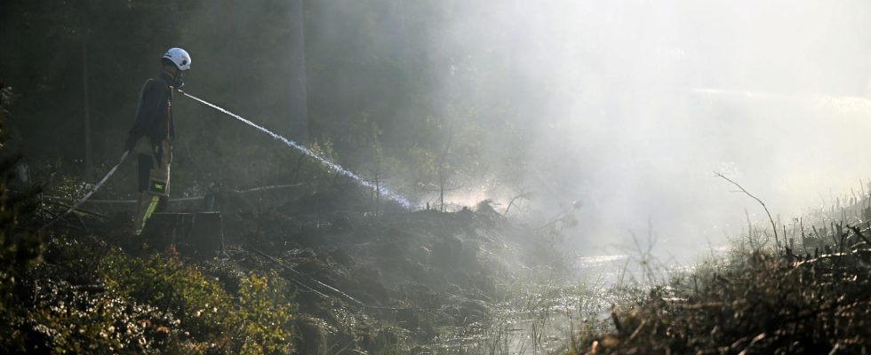
Since last year, the rescue service has been helped by weather satellites in the search for forest fires. It will be put to good use during this year’s dry summer.
– The feedback we get from the emergency services is that it is very useful, says Jenny Sander at the Swedish Agency for Community Protection and Preparedness (MSB).
In the project’s first clear year, 2022, the weather satellites detected 108 uncontrolled fires, 39 of them in forest and land. In a quarter of the cases, the satellites were the first to alert the emergency services about the fires.
The system is based on already existing technology in the form of two satellites that SMHI, together with other countries’ meteorological institutes, used for weather data.
Since last year, the system, which MSB helped develop, has been refined. When a fire is detected, the system used to send text messages or emails to individual rescue services – nowadays it is integrated into the alarm chain.
– The fires detected by the satellites now go directly to SOS Alarm, which alerts the rescue services. They find out about it within 15 minutes after the satellite has seen it, says Jenny Sander, manager of forest fires at MSB.
Dry summer
The technology is still getting better and according to Sander, SMHI has announced that it is about to shorten the time “from detection to alarm” to five minutes.
– It makes a big difference, of course.
The satellites fulfill another function even when they were not the first to alert about a fire, as they can quickly provide an exact location with coordinates for the fire’s position.
This summer, the system may have to work hard. The weather is forecast to be dry and SMHI warns this weekend of a high or extremely high risk of fire in large parts of the country. It is also in such weather that the system works best.
– If it’s cloudy, it sees worse, but if it’s clear and also warm outside, it has an easier time finding the fires, says Sander.
Urban areas and known industrial heat sources have been masked off the maps, so that the system does not give false results. But the system is not perfect.
Natural problem
Around ten percent of the heat sources that are identified are other than fires and the system cannot distinguish a controlled fire from an uncontrolled one, but it is up to the emergency services to investigate.
In addition, there is a natural problem in that there are two satellites in orbit around the Earth. One passes Sweden in the middle of the day, the other at night.
– The worst time, when most fires start and start to get big, is during the late afternoon and evening – that time is not covered by satellites. Then we have to rely instead on the forest fire monitoring aircraft, for example, says Jenny Sander.
She describes the satellites as “a small piece of the puzzle” in a larger work.
– They may not detect very many fires, but every fire that is detected early is of course a win.
FACT Satellite monitoring of forest fires
Together with county administrations and local rescue services, the Norwegian Agency for Community Safety and Preparedness (MSB) and SMHI have developed a new system for monitoring forest fires using two satellites, which pass once at night and once in the middle of the day.
They are most useful in sparsely populated areas, where there are fewer competing heat sources than in a conurbation.
During the years 2020–2021, the system was tested and evaluated. In 2022, it began to be used in sharp mode. Via an alarm signal, which goes via SOS Alarm, the rescue services receive a more or less precise position.
The system is particularly effective at night.
Source: MSB
Read more