Published: Less than 20 min ago
Updated: Just now
First record heat and then record cold.
The November weather seems to be having a hard time deciding right now, as both cooler and warmer temperatures are on the way in the future as well.
Even though the calendar says November, the thermometer seems to have a hard time making up its mind.
On Saturday, the hottest temperature so far measured this late in the year in Sweden was measured – 16.7 plus degrees in Gladhammar in eastern Småland.
But right now there are sudden gusts of wind.
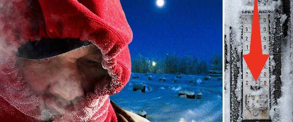
On the night of Wednesday, the season’s lowest temperature so far was recorded – -24.5 minus degrees in Karesuando in northernmost Lapland.
– There are big changes in the weather right now and that is because we have a jet stream that stretches far from south to north. Normally, it usually produces fairly normal weather, but now it is moving, which has given it this extreme weather that we have seen lately, says meteorologist Mikael Luhr.
Colder weather to wait
He further notes that colder weather is to be expected, especially in the greater part of Norrland where temperatures can reach 10–20 degrees below zero.
– We have gone from extremely mild November weather to more normal weather. But it will continue to shift in the future. During the week it will be a few more degrees colder, and rain and snow are expected for the weekend.
It is mainly in the eastern parts of Götaland and Svealand that snow and rain will find their way over the weekend. At the beginning of next week, the snow area will also reach the northern parts of the country as a low pressure from the southwest moves in.
– It is expected to be some rain and snow but also slippery as the temperature is around zero degrees in the south but even more minus degrees in the north.
During Friday and Saturday, a couple of centimeters are expected in the eastern parts of Götaland, probably also in southern Dalarna and Gävleborg. During Sunday, the precipitation is expected to increase, and a couple of centimeters of snow may then fall over eastern Götaland and Svealand and southern Norrland, says Mikael Luhr.
15 centimeters of snow
– It is difficult to say at the moment, but locally it could be about 5-10 centimeters of snow in the eastern parts of Svealand and Götaland, while in the southern parts of Norrland it could be up to 15 centimeters locally.
– If you go out and travel during, for example, Saturday evening, Sunday and Monday, the road conditions will be a bit difficult in many places in the form of snow and ice on some evenings and nights.
During the next week, however, temperatures are expected to increase, to around eight plus degrees in the south, which means that the snow that has fallen will disappear, with the exception of the northernmost parts of the country.
But for those who hoped for warmth, it’s gone, because at the end of next week it’s time for colder weather again.
– Until the first advent, it looks like it will be a little milder, but after that we will probably have a colder period again when we start to step into December.
