THWAITES GLACIER. The “apocalypse glacier” is melting faster than expected. This is what a study on global warming reveals. This should have a significant impact on rising sea levels. We take stock.
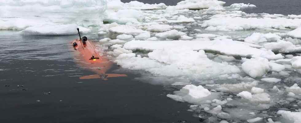
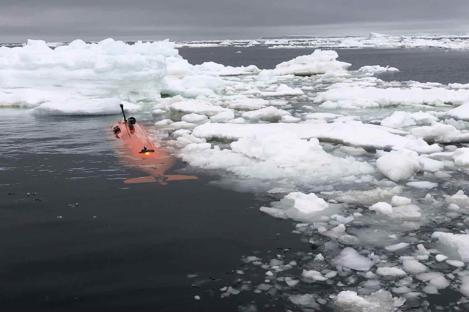
[Mis à jour le 6 septembre à 20h10] While topics on ecology and global warming have now established themselves in public debate, a new study, published Monday, September 5, 2022 in nature geoscience, once again confirms the acceleration of the phenomenon. She claims, in particular, that the Thwaites Glacier is collapsing faster than expected. Indeed, scientists have noted that the block of ice has retreated over the last five to six months, much faster than before. The observed melting occurred at a rate of 2.1 kilometers per year. That’s “twice the rate seen in the part that declined the fastest between 2011 and 2019,” the experts explained in the study.
In a statement released by the University of South Florida, Robert Larter, geophysicist and one of the study’s authors, warned about the rapid melting of the so-called “apocalypse glacier”: “Thwaites is hanging by a thread today, and we should expect to see big changes on small timescales in the future – even from year to year – once the glacier settles. will retreat beyond a shallow ridge in its bed.”
The collapse of such a glacier would be disastrous for the world as we know it. Indeed, this would induce a significant rise in water levels. This is why some have renamed Twhaites “the glacier of the apocalypse”. However, Rob Later, in a tweet dated Monday September 5, 2022, explained that he rejects this designation “because West Antarctica’s contribution to future sea level rise is still, to some extent , in our hands”.
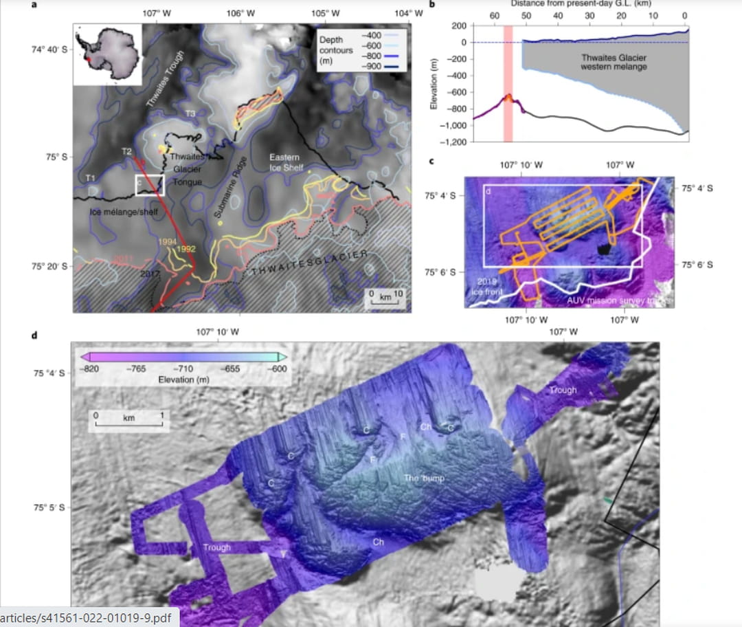
The map of the glacier of the apocalypse is proposed by the site nature geoscience who publishes the scientific study. To fully understand the indications, the site provides a detailed legend that you can find below:
has , Map of the southern bay of the Amundsen Sea in the vicinity of the Thwaites Glacier. Bathymetry/topography covering the sea, the subglacial shelf and the failed glacier of ref. 37 . The previous positions of the grounding lines, as well as the anchor points at the ends of the TGT and the eastern ice shelf, are shown in color. Modern hatched grounding region. T1-T3: tributary troughs. b , Long profile showing the context of the study site. The pink bar and orange bathymetry indicate the area of the new survey. GL, ground line. vs AUV survey tracks on top of West Thwaites ice mix and TGT. D, 1.5m resolution AUV multibeam swath bathymetry superimposed on a shaded rendered image of onboard EM122 swath bathymetry collected during the same search campaign. F, fan; C, rock; Ch, channel.