You will also be interested
[EN VIDÉO] Tour de France of biodiversity: the Haut-Languedoc regional natural park On the way to the fourth stage of the Tour de France of biodiversity, in collaboration with the National Museum of Natural History (MNHN), which takes us to the Haut-Languedoc Regional Natural Park, with its rural and mountain character, one of the 53 natural parks in France.
Agriculture, livestock, industry, economic activities, towns and villages… Today, the human footprint is present in almost all territories. With a minimum of 50,000 years of occupation of French soil, virgin landscapes, or at least little marked by the presence of man, are indeed extremely rare. With CartNat, a team of geographers has clearly highlighted this fact by publishing a map of France of wild areas.
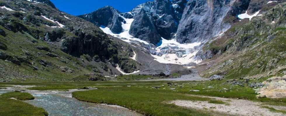
Are there still wild areas in France?
These areas were defined according to different criteria: a integrity biophysics of the soil over the long term, a fauna and flora not hindered or influenced by human activity, thus ensuring the spontaneity of natural processes. It is therefore necessary that these areas have not suffered any disturbance related to human action, and this over several centuries. Based on these principles, geographers have analyzed and exploited a large quantity land occupancy data produced by the IGNCnes, the National Forestry Office… They also looked at historical data illustrating the evolution of land use over time.
An entirely virtual work therefore, but which stirred up a phenomenal amount of data. In the end, France is represented with a scale of color which indicates the level of “potential naturalness”. This term has thus been defined as a concept reflecting the degree of influence of an environment by Man and therefore its character more or less “savage” “. In red, the least natural areas and in green the wildest areas.
Mountainous regions and still many areas protected from human action
The map thus shows, without much surprise, that the location of major urban areas and major roads are in red. Conversely, most of the mountain ranges appear to be the wildest areas, quite simply because the mountainous regions and in particular those at high altitude have always been much less easily accessible than the plains. However, on closer inspection, it appears that France is dotted with many areas where naturalness has been preserved over time. While some are currently protected by specific legislation (natural reserves for example), others do not benefit from any particular status.
The map is available to the general public via the website of theIUCN France and can be downloaded from This site. This work comes in response to the resolution of Prague, ratified in 2009 by the European Parliament, and whose objective was to draw up the state of the last wild areas in Europe. The aim was to update knowledge of these areas and better protect them. The map produced by the IUCN is therefore intended to be a decision-making tool for territorial collectives, and in particular to respond to the proposal made in 2019 by President Emmanuel Macron to protect 30% of the metropolitan territory.
Protected natural areas represent territories geographically defined and recognized by law where all means are implemented to ensure the long-term conservation of nature, the preservation of ecosystems and landscapes. The main objective of the establishment of these protected natural areas is of course to fight against the weakening of biodiversity on our territory.
Interested in what you just read?
