Posted ,
Reading 1 min.
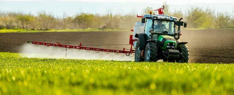
Have you ever wondered how exposed you are to pesticides? An interactive map of France, available on the website of an associative company from Toulouse, Solagro, can answer this question. Indeed, it identifies the use of phytosanitary products throughout the country.
The question of exposure to pesticides, and in particular at what dose, remains an important public health issue. If you are wondering how much your environment, whether it is the soil in your garden or the air you breathe, is polluted by pesticides, an associative company in Toulouse has developed a interactive map called Adonis.
Find your municipality
To get the answer to his question and know his level of exposure, just zoom in on your town or enter his postal code in a space provided for this purpose.
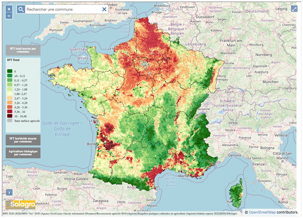
Immediately, the map gives you an estimate of the frequency indices of treatment by farmers in your environment, TFIs. That corresponds “the number of doses of phytosanitary products applied per hectare during a crop year” indicates Solagro.
Regional disparities
When we look at the map of France in a global way, we immediately notice that certain areas, such as the North of France or the South East are the most polluted areas. On the other hand, in the Gers, the Manche or the Drôme, these regions are the least exposed to pesticides, in metropolitan France.
Remember that pesticides remain dangerous products, which have been suspected of being the cause of various diseases such as cancers or respiratory pathologies.