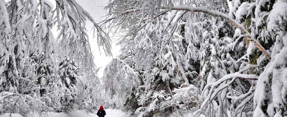
Canada is facing an extreme cold wave with down to -53 ° C this Sunday in the Yukon, the lowest temperature recorded in this area since 2008. After the Great West of Canada, Quebec will experience high temperatures. extremely low this week.
You will also be interested
[EN VIDÉO] Should you eat fatty foods when it’s cold? In winter, the body must make more efforts to fight against the cold. But while it may seem logical to eat more fat, this statement does not really hold up with our current lifestyles.
It has been exactly one month since an episode of intense cold raged over western Canada, from British Columbia to the “Prairies” (Alberta, Saskatchewan, Manitoba) via the Yukon and the Northwest Territories. .
30 ° C below seasonal averages
After having already crossed the symbolic mark of -50 ° C recorded at the end of December, the cold was accentuated again last weekend, dropping to -53.5 ° C at Pelly Farm in the Yukon this Sunday morning. Temperatures were indeed extreme across western North America on Sunday: -50.6 ° C recorded in Alaska at Chicken and -40 ° C in Alberta at High Level. In the Yukon, these are the lowest temperatures recorded since 2008, with values more than 30 ° C below the average of season. However, no absolute cold record has been recorded, since the lowest temperature ever recorded in Canada is -62.8 ° C, recorded on February 3, 1947 in the Yukon in the town of Snag. In Alberta, some cities like Edmonton have not thawed since December 11: temperatures have remained negative for a month.
This situation weather report is typical of La Niña climatic phenomenon, a anomaly cold temperatures in the Pacific Ocean, which in turn affects the weather many parts of the world, especially that of the Americas. In this climatic configuration, the jet stream descends further south than usual, letting theair arctic to western Canada and northwestern United States (Washington, Montana, and North Dakota). During the years La Niña, western Canada is often colder and wetter than normal, while heat persistent is stranded over the southern United States, causing unstable weather. Recall that the central and southeastern states of the United States have experienced many heat records in recent weeks and devastating tornadoes in December.
La Niña causes the jet stream to move northward and to weaken over the eastern Pacific. During La Niña winters, the South sees warmer and drier conditions than usual. The North and Canada tend to be wetter and colder. pic.twitter.com/HVAB4rpv8Z
– THEQUESTION420 (@ ThEQUESTION420) December 7, 2021
Ice storm in Canada’s mildest province
On the British Columbia side, thewinter in progress is exceptional: the westernmost province of Canada is also the mildest zone of the country in winter, benefiting from the influence of the Pacific Ocean. December 2021 was the coldest on record in Vancouver since 1937, with an average temperature of 0.9 ° C, and frequent frosts in the morning, in a city where it hardly ever freezes. In that province, heavy rains and stormy conditions were followed by a sudden cold snap last week, transforming all of these precipitation in ice.
After the west, the extreme cold slides towards Quebec
This week marks the end of the blockage of cold air over western Canada as temperatures will go straight up above seasonal averages for the next few days. The ripples of the jet stream are currently pushing the polar vortex, this pocket of cold air that affected the Yukon, British Columbia and Alberta, towards the eastern provinces. Quebec and Ontario will experience their first real cold snap of the winter season with temperatures of -15 to -20 ° C, and a feeling that will drop to -40 ° C locally due to the wind. For the Quebec, it should be the biggest cold snap in five years.
Interested in what you just read?
.
fs11
