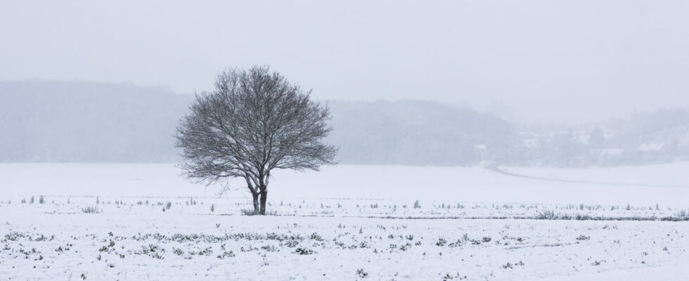
Nearly a third of French departments are placed on yellow “severe cold” alert this Tuesday by Météo France. The frosts are expected to intensify again at the end of the week.
Winter is here. Due to an anticyclone located in the north of Europe and cold and dry air in low levels, the cold fell on France at the start of the week, and particularly this Tuesday, January 14, 2025. This morning , Météo France places no less than 26 departments on yellow alert for “severe cold”, particularly in the eastern quarter of the country. This alert began at 10 a.m., and is currently scheduled until midnight.
The departments concerned are as follows: Loire-Atlantique, Vendée, Deux-Sèvres, Vienne, Indre, Cher, Loir-et-Cher, Loiret, Nièvre, Yonne, Loire, Saône-et-Loire, Côte-d’Or, Aube , Jura, Doubs, Haute-Saône, Haute-Marne, Marne, Meuse, Moselle, Meurthe-et-Moselle, Haut-Rhin, Bas-Rhin, Ardennes.
Up to -10°C this Tuesday in the Massif Central
Frosts were observed all the way to the plains, with minimums around -10°C in places “from the foothills of the Massif Central to the eastern facade”, specifies Météo France. Be careful, freezing fogs are also present from Pays de Loire to Hauts-de-France, and locally in the Garonne valley. Météo France also recorded -8.4°C in Béziers, in Hérault, this Tuesday morning. According to France Info, it is “4.2°C colder than the average temperature measured on January 14 between 1971 and 2000”.
“During the day, maximum temperatures remain very low. They do not generally exceed 1 to 5 degrees inland, locally 0 in the east. They increase slightly between 5 and 8 degrees on the Channel coasts and in the foot of the Pyrenees They reach 10 to 15 degrees on the Mediterranean edge”, indicates Météo France in its daily bulletin.
New frosts at the end of the week
The following night, from Tuesday to Wednesday, “a milder but more humid air mass will advance over the north of the country. This will result in heavy cloudiness over the northern half, with some drizzle possible.” “We will be monitoring at the end of the night and in the afternoon for a risk of light precipitation on frozen ground in the north. Indeed, frosts, even decreasing, will still be very frequent. They will be significantly weaker on Thursday, but should become more frequent again. intensify at the end of the week,” continues the weather station.
